Pohuehue Area, Pohuehue Postcode(0951) & Map in Pohuehue
Pohuehue Area, Pohuehue Postcode(0951) & Map in Pohuehue, Auckland, New Zealand
Pohuehue, Auckland, New Zealand
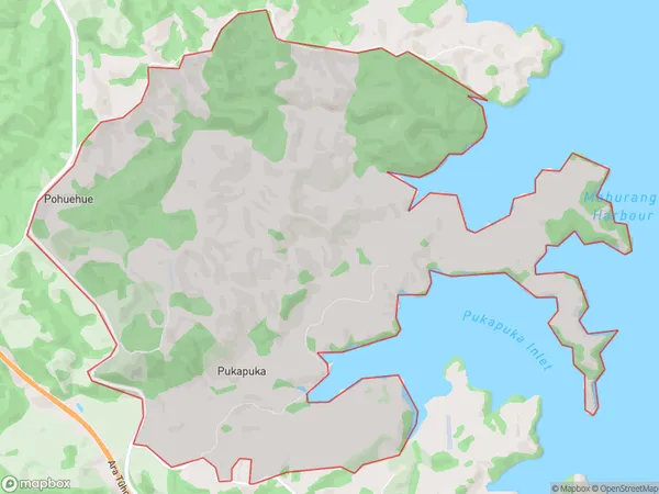
Pohuehue Area (estimated)
20.8 square kilometersPohuehue Population (estimated)
197 people live in Pohuehue, Rodney, NZPohuehue Suburb Area Map (Polygon)
Pohuehue Introduction
Pohuehue is a historic village located in Warkworth, Auckland, New Zealand. It is known for its picturesque stone buildings, including the Pohuehue Castle, which was built in the 1840s. The village is surrounded by lush gardens and scenic waterways, and it is a popular tourist destination. Pohuehue also has a rich cultural heritage, with a strong Maori presence. The village is home to the Pohuehue Marae, which is a significant meeting place for the local Maori community.Region
Major City
Suburb Name
PohuehueOther Name(s)
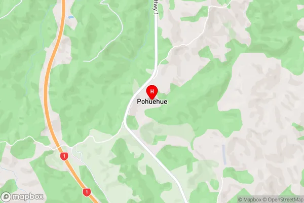
PukapukaPohuehue Area Map (Street)
Local Authority
AucklandFull Address
Pohuehue, Auckland, New ZealandAddress Type
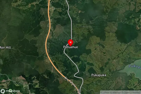
Locality in Town WarkworthPohuehue Suburb Map (Satellite)
Country
Main Region in AU
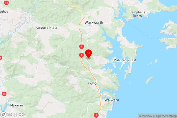
AucklandPohuehue Region Map
Coordinates
-36.46682,174.65193 (latitude/longitude)Distances
The distance from Pohuehue, Warkworth, Auckland to NZ Top 10 Cities