Algies Bay Area, Algies Bay Postcode(0982) & Map in Algies Bay
Algies Bay Area, Algies Bay Postcode(0982) & Map in Algies Bay, Auckland, New Zealand
Algies Bay, Auckland, New Zealand
Algies Bay Area (estimated)
1.9 square kilometersAlgies Bay Population (estimated)
825 people live in Algies Bay, Rodney, NZAlgies Bay Suburb Area Map (Polygon)
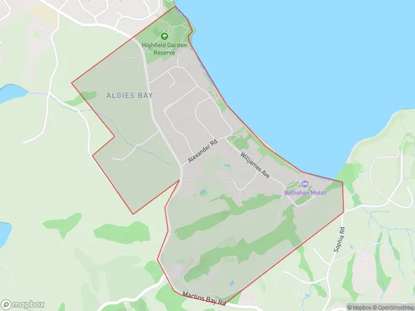
Algies Bay Introduction
Algies Bay is a picturesque beach located in Auckland, New Zealand. It is known for its clear waters, white sand, and stunning coastal views. The bay is a popular spot for swimming, sunbathing, and water sports such as kayaking and paddleboarding. It is also home to a small community of residents and a popular beachside café. The bay is surrounded by lush green hills and is a short drive from the city center.Region
Major City
Suburb Name
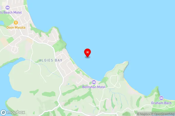
Algies BayAlgies Bay Area Map (Street)
Local Authority
AucklandFull Address
Algies Bay, Auckland, New ZealandAddress Type
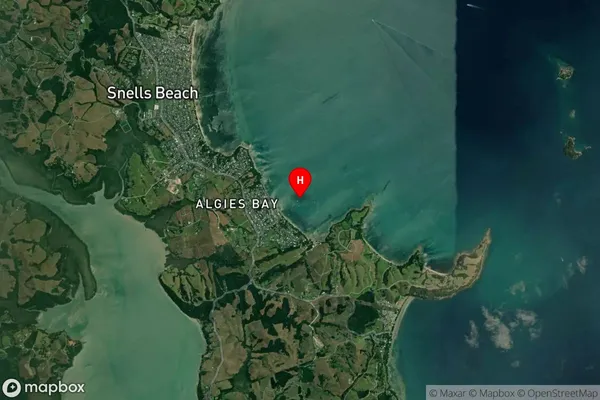
Suburb in Major Locality Algies BayAlgies Bay Suburb Map (Satellite)
Country
Main Region in AU
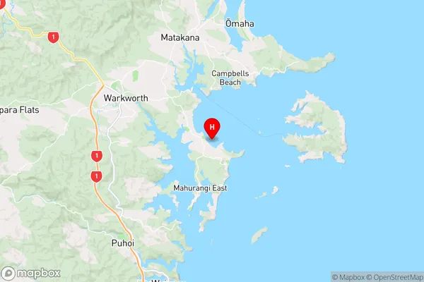
AucklandAlgies Bay Region Map
Coordinates
-36.432123,174.747827 (latitude/longitude)Distances
The distance from Algies Bay, Algies Bay, Auckland to NZ Top 10 Cities