Deborah Area, Deborah Postcode(9401) & Map in Deborah
Deborah Area, Deborah Postcode(9401) & Map in Deborah, Waitaki District, New Zealand
Deborah, Waitaki District, New Zealand
Deborah Postcodes
Deborah Area (estimated)
7.4 square kilometersDeborah Population (estimated)
246 people live in Deborah, Otago, NZDeborah Suburb Area Map (Polygon)
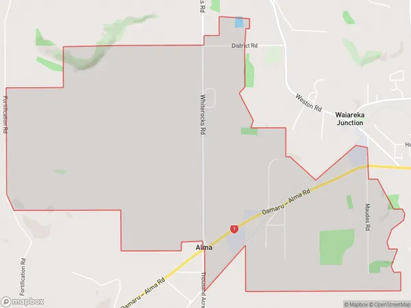
Deborah Introduction
Deborah is a small town in Otago, New Zealand, located on State Highway 1. It was established in 1864 and named after Deborah, the wife of the town's first settler. The town has a population of around 200 people and is known for its historic stone buildings and scenic surroundings. It is also home to the Deborah Tavern, a popular local pub.Region
Major City
Suburb Name
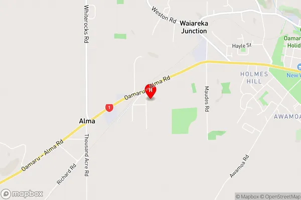
DeborahDeborah Area Map (Street)
Local Authority
Waitaki DistrictFull Address
Deborah, Waitaki District, New ZealandAddress Type
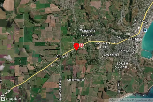
Locality in Town OamaruDeborah Suburb Map (Satellite)
Country
Main Region in AU
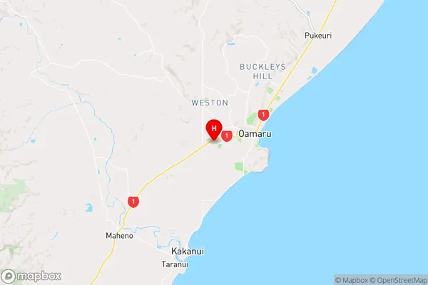
OtagoDeborah Region Map
Coordinates
-45.105802,170.9291493 (latitude/longitude)Distances
The distance from Deborah, Oamaru, Waitaki District to NZ Top 10 Cities