Mangawhai Area, Mangawhai Postcode(0975) & Map in Mangawhai, Auckland
Mangawhai Area, Mangawhai Postcode(0975) & Map in Mangawhai, Auckland, Kaipara District, New Zealand
Mangawhai, Auckland, Kaipara District, New Zealand
Mangawhai Postcodes
Mangawhai Area (estimated)
100.2 square kilometersMangawhai Population (estimated)
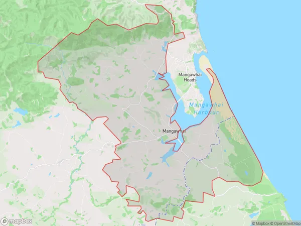
4102 people live in Mangawhai, Rodney, NZMangawhai Suburb Area Map (Polygon)
Mangawhai Introduction
Mangawhai is a coastal village in Northland, New Zealand. It is known for its natural beauty, including the eponymous Mangawhai Headland, which is a popular destination for tourists and surfers. The village has a population of around 1,000 people and is located about 120 kilometers north of Auckland.Region
Major City
Suburb Name
MangawhaiOther Name(s)
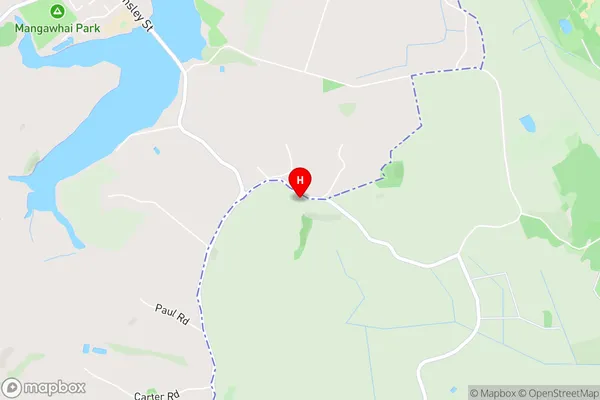
TaraMangawhai Area Map (Street)
Local Authority
Auckland, Kaipara DistrictFull Address
Mangawhai, Auckland, Kaipara District, New ZealandAddress Type
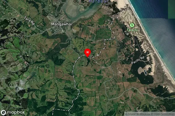
Suburb in Town MangawhaiMangawhai Suburb Map (Satellite)
Country
Main Region in AU
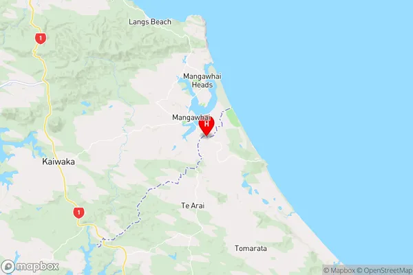
AucklandMangawhai Region Map
Coordinates
-36.141849,174.591272 (latitude/longitude)Distances
The distance from Mangawhai, Mangawhai, Auckland, Kaipara District to NZ Top 10 Cities