Mangawhai Heads Area, Mangawhai Heads Postcode(0505) & Map in Mangawhai Heads
Mangawhai Heads Area, Mangawhai Heads Postcode(0505) & Map in Mangawhai Heads, Kaipara District, New Zealand
Mangawhai Heads, Kaipara District, New Zealand
Mangawhai Heads Area (estimated)
14.8 square kilometersMangawhai Heads Population (estimated)
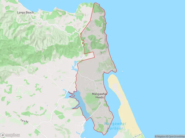
2782 people live in Mangawhai Heads, Northland, NZMangawhai Heads Suburb Area Map (Polygon)
Mangawhai Heads Introduction
Mangawhai Heads is a popular holiday destination located in the Northland region of New Zealand. It is known for its stunning coastal scenery, including rugged cliffs, sandy beaches, and crystal-clear waters. The area is a popular spot for surfing, fishing, and hiking, and is home to a variety of wildlife, including dolphins, whales, and seals. The nearby Mangawhai Village is a charming coastal community with a variety of restaurants, cafes, and shops.Region
Major City
Suburb Name
Mangawhai HeadsOther Name(s)
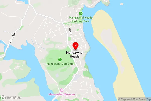
Nautical ViewsMangawhai Heads Area Map (Street)
Local Authority
Kaipara DistrictFull Address
Mangawhai Heads, Kaipara District, New ZealandAddress Type
Suburb in Town MangawhaiMangawhai Heads Suburb Map (Satellite)

Country
Main Region in AU
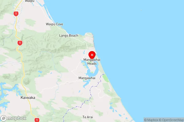
NorthlandMangawhai Heads Region Map
Coordinates
-36.0947939,174.5871983 (latitude/longitude)Distances
The distance from Mangawhai Heads, Mangawhai, Kaipara District to NZ Top 10 Cities