Dartmoor Area, Dartmoor Postcode(4120) & Map in Dartmoor
Dartmoor Area, Dartmoor Postcode(4120) & Map in Dartmoor, Hastings District, New Zealand
Dartmoor, Hastings District, New Zealand
Dartmoor Postcodes
Dartmoor Area (estimated)
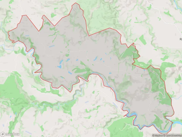
63.7 square kilometersDartmoor Population (estimated)
166 people live in Dartmoor, Hawke's Bay, NZDartmoor Suburb Area Map (Polygon)
Dartmoor Introduction
Dartmoor is a farm located in Napier, Hawke's Bay, New Zealand. It was established in 1865 and is currently run by the fifth generation of the same family. The farm covers 120 hectares of land and is home to a herd of 1,200 sheep. The farm produces wool, lamb, and beef products and is known for its high-quality meat and wool. Dartmoor also has a strong commitment to sustainable farming practices, including using renewable energy sources and reducing waste.Region
Major City
Suburb Name
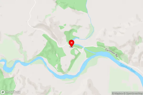
DartmoorDartmoor Area Map (Street)
Local Authority
Hastings DistrictFull Address
Dartmoor, Hastings District, New ZealandAddress Type
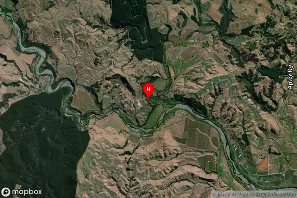
Locality in City NapierDartmoor Suburb Map (Satellite)
Country
Main Region in AU
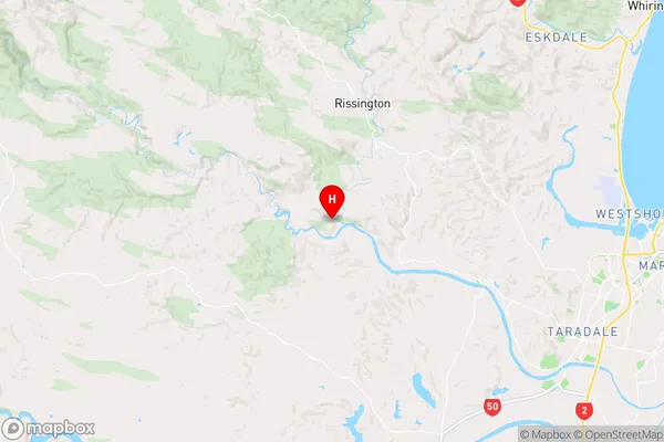
Hawke's BayDartmoor Region Map
Coordinates
-39.4803278,176.6931152 (latitude/longitude)Distances
The distance from Dartmoor, Napier, Hastings District to NZ Top 10 Cities