Whananaki Area, Whananaki Postcode(0181) & Map in Whananaki
Whananaki Area, Whananaki Postcode(0181) & Map in Whananaki, Whangarei District, New Zealand
Whananaki, Whangarei District, New Zealand
Whananaki Postcodes
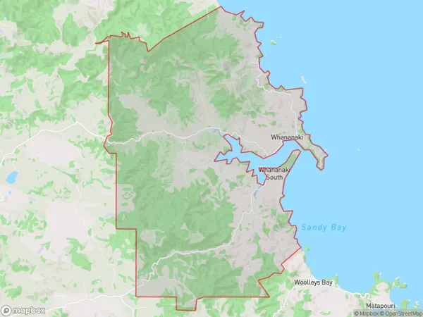
Whananaki Area (estimated)
80.1 square kilometersWhananaki Population (estimated)
407 people live in Whananaki, Northland, NZWhananaki Suburb Area Map (Polygon)

Whananaki Introduction
Whananaki, also known as the "Land of the Long White Cloud," is a picturesque coastal town located in the Hikurangi region of Northland, New Zealand. It is renowned for its stunning natural beauty, including the iconic Whananaki Falls, as well as its rich cultural heritage and indigenous traditions. The town is surrounded by lush forests, pristine beaches, and crystal-clear rivers, making it a popular destination for outdoor enthusiasts and nature lovers.Region
Major City
Suburb Name
WhananakiOther Name(s)
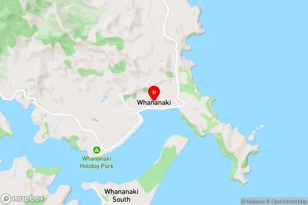
Whananaki SouthWhananaki Area Map (Street)

Local Authority
Whangarei DistrictFull Address
Whananaki, Whangarei District, New ZealandAddress Type
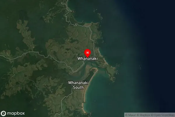
Locality in Town HikurangiWhananaki Suburb Map (Satellite)

Country
Main Region in AU
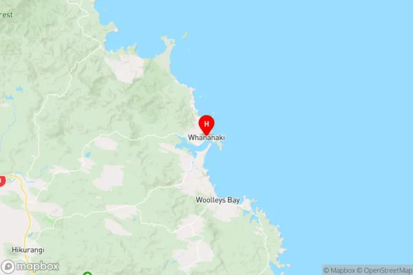
NorthlandWhananaki Region Map

Coordinates
-35.5075152,174.4629456 (latitude/longitude)Distances
The distance from Whananaki, Hikurangi, Whangarei District to NZ Top 10 Cities