Helena Bay Area, Helena Bay Postcode & Map in Helena Bay
Helena Bay Area, Helena Bay Postcode & Map in Helena Bay, Whangarei District, New Zealand
Helena Bay, Whangarei District, New Zealand
Helena Bay Area (estimated)
83.7 square kilometersHelena Bay Population (estimated)
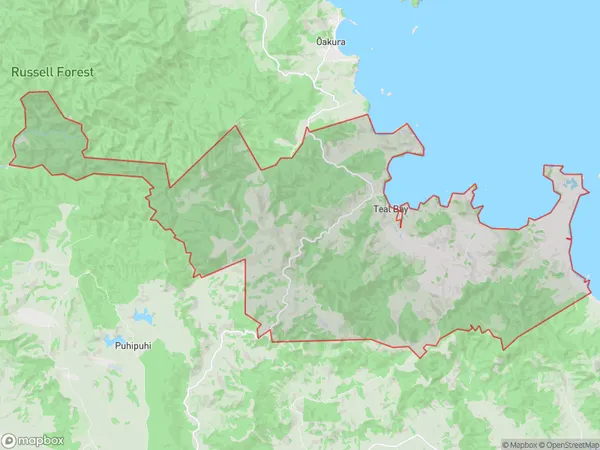
230 people live in Helena Bay, Northland, NZHelena Bay Suburb Area Map (Polygon)
Helena Bay Introduction
Helena Bay is a picturesque bay located in the Hikurangi region of Northland, New Zealand. It is known for its stunning natural beauty, including rugged cliffs, pristine beaches, and diverse marine life. The bay is a popular destination for tourists and outdoor enthusiasts, with opportunities for hiking, fishing, and kayaking. It is also home to the Helena Bay Eco-Tourism Park, which offers guided tours and educational programs about the region's natural and cultural heritage.Region
Major City
Suburb Name
Helena BayOther Name(s)
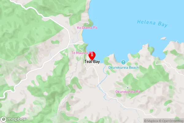
Teal BayHelena Bay Area Map (Street)
Local Authority
Whangarei DistrictFull Address
Helena Bay, Whangarei District, New ZealandAddress Type
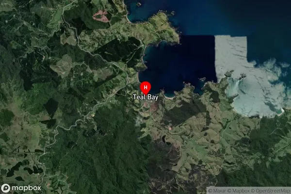
Locality in Town HikurangiHelena Bay Suburb Map (Satellite)
Country
Main Region in AU
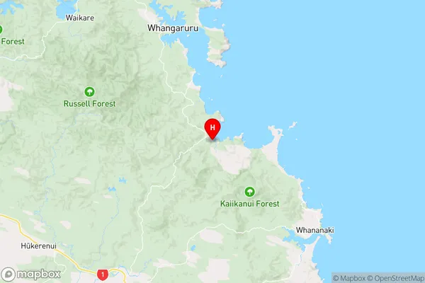
NorthlandHelena Bay Region Map
Coordinates
-35.4374535,174.3635407 (latitude/longitude)Distances
The distance from Helena Bay, Hikurangi, Whangarei District to NZ Top 10 Cities