Waikare Area, Waikare Postcode(0283) & Map in Waikare
Waikare Area, Waikare Postcode(0283) & Map in Waikare, Far North District, New Zealand
Waikare, Far North District, New Zealand
Waikare Postcodes
Waikare Area (estimated)
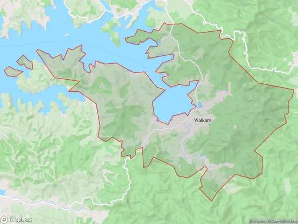
44.1 square kilometersWaikare Population (estimated)
162 people live in Waikare, Bay of Islands-Whangaroa Community, NZWaikare Suburb Area Map (Polygon)
Waikare Introduction
Waikare is a small rural community in Northland, New Zealand. It is located on the banks of the Waikare River and is known for its beautiful natural surroundings, including lush forests, waterfalls, and pristine beaches. The community has a population of around 100 people and is home to a primary school, a church, and a few small businesses. Waikare is a popular destination for outdoor enthusiasts, with many opportunities for hiking, fishing, and kayaking. The area is also home to a number of cultural heritage sites, including a historic pa site and a museum that showcases the region's rich history and culture.Region
Major City
Suburb Name
WaikareOther Name(s)
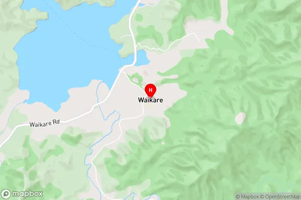
WaihahaWaikare Area Map (Street)
Local Authority
Far North DistrictFull Address
Waikare, Far North District, New ZealandAddress Type
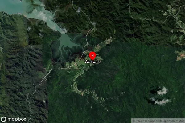
Locality in Town RussellWaikare Suburb Map (Satellite)
Country
Main Region in AU
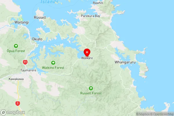
NorthlandWaikare Region Map
Coordinates
-35.3395949,174.2350877 (latitude/longitude)Distances
The distance from Waikare, Russell, Far North District to NZ Top 10 Cities