Russell Area, Russell Postcode(0202) & Map in Russell
Russell Area, Russell Postcode(0202) & Map in Russell, Far North District, New Zealand
Russell, Far North District, New Zealand
Russell Area (estimated)
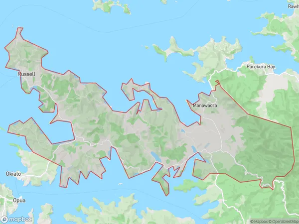
51.5 square kilometersRussell Population (estimated)
1307 people live in Russell, Bay of Islands-Whangaroa Community, NZRussell Suburb Area Map (Polygon)
Russell Introduction
Russell is a small town in Northland, New Zealand, with a population of around 1,000 people. It is known for its historic buildings, including the Russell Courthouse, which was built in 1881. The town also has a beautiful beach and a marina, and is a popular destination for tourists and locals alike.Region
Major City
Suburb Name
RussellOther Name(s)
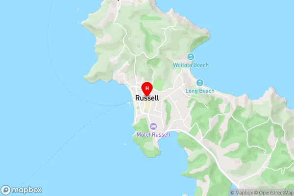
Frenchmans Swamp, ManawaoraRussell Area Map (Street)
Local Authority
Far North DistrictFull Address
Russell, Far North District, New ZealandAddress Type
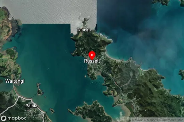
Suburb in Town RussellRussell Suburb Map (Satellite)
Country
Main Region in AU
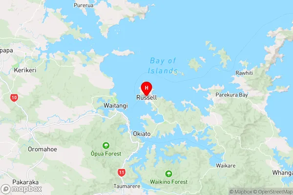
NorthlandRussell Region Map
Coordinates
-35.2612737,174.1236488 (latitude/longitude)Distances
The distance from Russell, Russell, Far North District to NZ Top 10 Cities