Karetu Area, Karetu Postcode(0282) & Map in Karetu
Karetu Area, Karetu Postcode(0282) & Map in Karetu, Far North District, New Zealand
Karetu, Far North District, New Zealand
Karetu Postcodes
Karetu Area (estimated)
46.4 square kilometersKaretu Population (estimated)
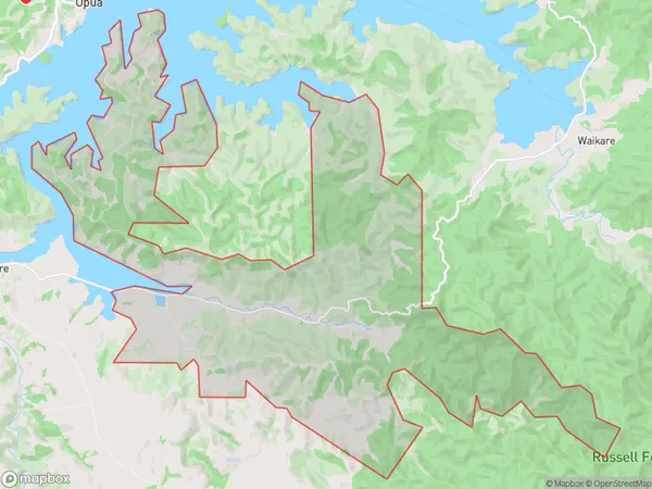
200 people live in Karetu, Bay of Islands-Whangaroa Community, NZKaretu Suburb Area Map (Polygon)
Karetu Introduction
Karetu is a small rural community in Northland, New Zealand. It is located on the banks of the Karetu River and is known for its beautiful natural surroundings, including lush forests, waterfalls, and a variety of bird species. The community has a population of around 100 people and is home to a primary school, a post office, and a small supermarket. Karetu is a popular destination for outdoor enthusiasts, with many hiking and fishing trails in the area. The community also hosts a annual cultural festival, which attracts visitors from around the region.Region
Major City
Suburb Name
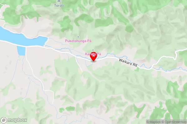
KaretuKaretu Area Map (Street)
Local Authority
Far North DistrictFull Address
Karetu, Far North District, New ZealandAddress Type
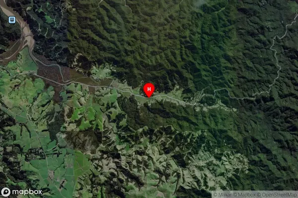
Locality in Major Locality KaretuKaretu Suburb Map (Satellite)
Country
Main Region in AU
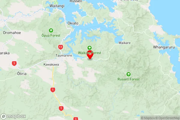
NorthlandKaretu Region Map
Coordinates
-35.3716976,174.1560466 (latitude/longitude)Distances
The distance from Karetu, Karetu, Far North District to NZ Top 10 Cities