Whangaruru Area, Whangaruru Postcode(0184) & Map in Whangaruru, Far North District
Whangaruru Area, Whangaruru Postcode(0184) & Map in Whangaruru, Far North District, Whangarei District, New Zealand
Whangaruru, Far North District, Whangarei District, New Zealand
Whangaruru Postcodes
Whangaruru Area (estimated)
60.3 square kilometersWhangaruru Population (estimated)
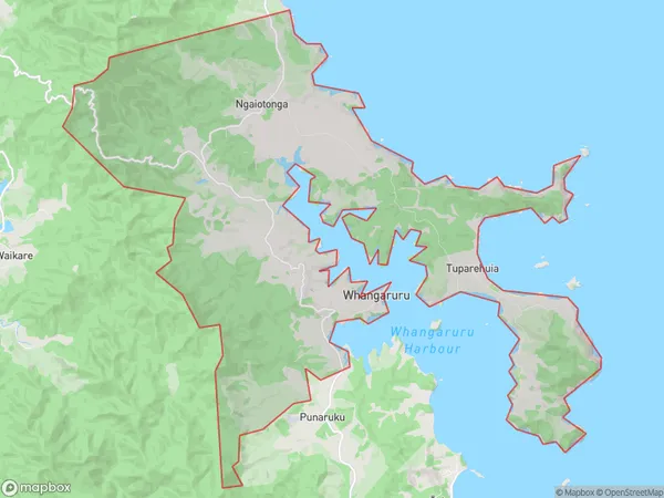
236 people live in Whangaruru, Northland, NZWhangaruru Suburb Area Map (Polygon)
Whangaruru Introduction
Whangaruru is a small town on the Northland coast of New Zealand, known for its beautiful beaches, lush forests, and vibrant cultural heritage. It is the birthplace of the famous author and poet Janet Frame and is home to the iconic Paihia Lighthouse. The town also has a rich history of Maori settlement and is surrounded by stunning natural scenery, making it a popular destination for tourists and locals alike.Region
Major City
Suburb Name
WhangaruruOther Name(s)
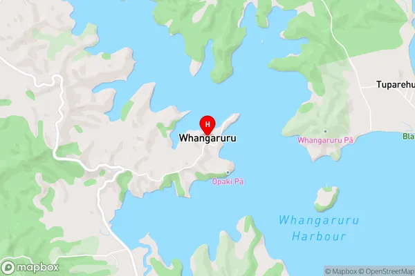
Ngaiotonga, Tuparehuia, Tutaematai, Whangaruru NorthWhangaruru Area Map (Street)
Local Authority
Far North District, Whangarei DistrictFull Address
Whangaruru, Far North District, Whangarei District, New ZealandAddress Type
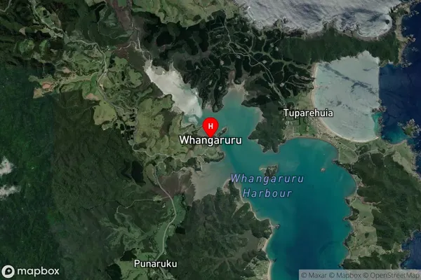
Locality in Town RussellWhangaruru Suburb Map (Satellite)
Country
Main Region in AU
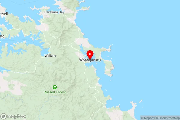
NorthlandWhangaruru Region Map
Coordinates
-35.3476199,174.3252026 (latitude/longitude)Distances
The distance from Whangaruru, Russell, Far North District, Whangarei District to NZ Top 10 Cities