Rawhiti Area, Rawhiti Postcode & Map in Rawhiti
Rawhiti Area, Rawhiti Postcode & Map in Rawhiti, Far North District,
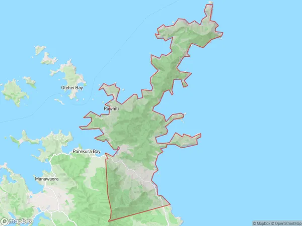
Rawhiti, Far North District,
Rawhiti Area (estimated)
49.1 square kilometersRawhiti Population (estimated)
213 people live in Rawhiti, Russell, NZRawhiti Suburb Area Map (Polygon)
Rawhiti Introduction
Russell is a small town in Northland, New Zealand, with a population of around 1,000 people. It is known for its scenic surroundings, including the Rawhiti River and the surrounding forest. The town is also home to a number of historic buildings, including the Russell Museum and the St. Paul's Anglican Church.Region
Major City
Suburb Name
RawhitiOther Name(s)
WhangamumuRawhiti Area Map (Street)
Local Authority
Far North DistrictFull Address
Rawhiti, Far North District,Address Type
Locality in Town RussellRawhiti Suburb Map (Satellite)
Country
Main Region in AU
NorthlandRawhiti Region Map
Coordinates
0,0 (latitude/longitude)Distances
The distance from Rawhiti, Russell, Far North District to NZ Top 10 Cities