Punaruku Area, Punaruku Postcode(0184) & Map in Punaruku
Punaruku Area, Punaruku Postcode(0184) & Map in Punaruku, Whangarei District, New Zealand
Punaruku, Whangarei District, New Zealand
Punaruku Postcodes
Punaruku Area (estimated)
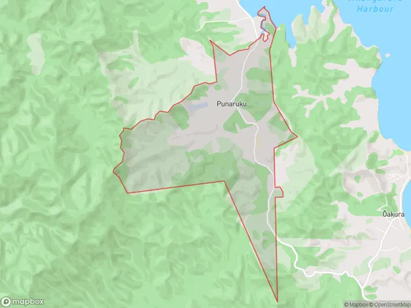
6.9 square kilometersPunaruku Population (estimated)
40 people live in Punaruku, Northland, NZPunaruku Suburb Area Map (Polygon)
Punaruku Introduction
Punaruku is a small rural community in the Hikurangi region of Northland, New Zealand. It is located on State Highway 12, approximately 12 km south of Waihou and 16 km north of Kaikohe. The community is known for its scenic surroundings, including the Punaruku Range and the Punaruku River. It has a population of around 100 people and is a popular destination for outdoor activities such as hiking, fishing, and hunting.Region
Major City
Suburb Name
PunarukuOther Name(s)
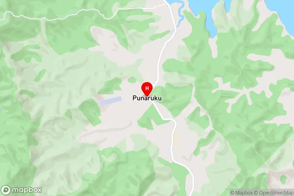
PunatukuPunaruku Area Map (Street)
Local Authority
Whangarei DistrictFull Address
Punaruku, Whangarei District, New ZealandAddress Type
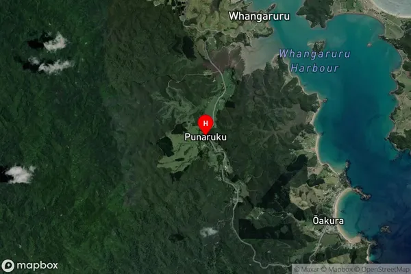
Locality in Town HikurangiPunaruku Suburb Map (Satellite)
Country
Main Region in AU
NorthlandPunaruku Region Map

Coordinates
-35.3723489,174.3117227 (latitude/longitude)Distances
The distance from Punaruku, Hikurangi, Whangarei District to NZ Top 10 Cities