Danseys Pass Area, Danseys Pass Postcode & Map in Danseys Pass
Danseys Pass Area, Danseys Pass Postcode & Map in Danseys Pass, Waitaki District, New Zealand
Danseys Pass, Waitaki District, New Zealand
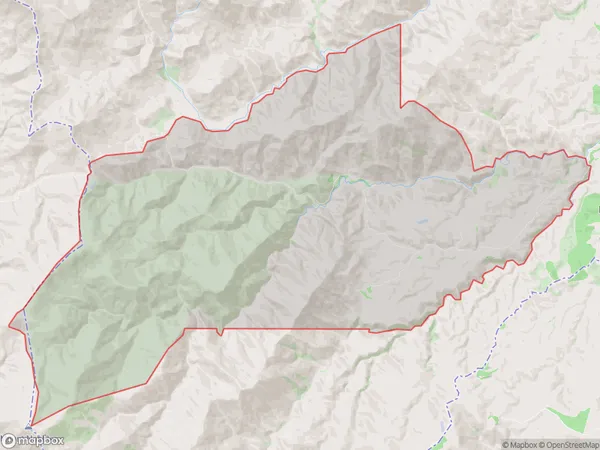
Danseys Pass Area (estimated)
118.9 square kilometersDanseys Pass Population (estimated)
18 people live in Danseys Pass, Canterbury, NZDanseys Pass Suburb Area Map (Polygon)

Danseys Pass Introduction
Danseys Pass is a historic pass in the Southern Alps of New Zealand, located between the towns of Oamaru and Omarama. It was used by early settlers and gold miners and is now a popular hiking and skiing route. The pass is named after Thomas Dansey, a pioneer settler who built a road over the pass in the 1860s.Region
Major City
Suburb Name
Danseys PassDanseys Pass Area Map (Street)

Local Authority
Waitaki DistrictFull Address
Danseys Pass, Waitaki District, New ZealandAddress Type
Locality in Town OamaruDanseys Pass Suburb Map (Satellite)

Country
Main Region in AU
CanterburyDanseys Pass Region Map

Coordinates
-44.9744159,170.4968819 (latitude/longitude)Distances
The distance from Danseys Pass, Oamaru, Waitaki District to NZ Top 10 Cities