Taupo Bay Area, Taupo Bay Postcode(0479) & Map in Taupo Bay
Taupo Bay Area, Taupo Bay Postcode(0479) & Map in Taupo Bay, Far North District, New Zealand
Taupo Bay, Far North District, New Zealand
Taupo Bay Postcodes
Taupo Bay Area (estimated)
34.3 square kilometersTaupo Bay Population (estimated)
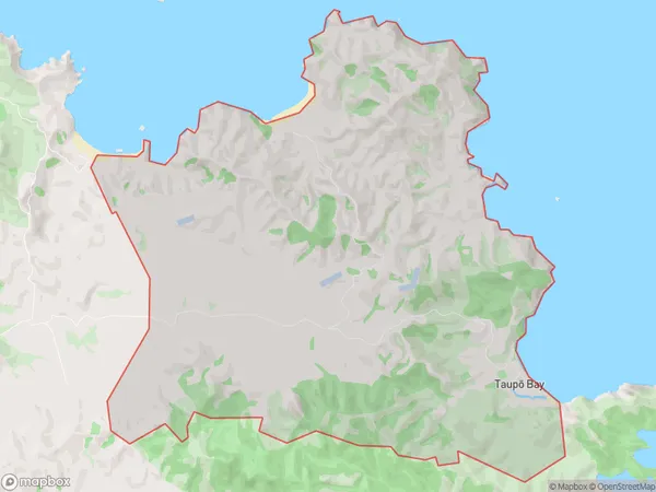
188 people live in Taupo Bay, Bay of Islands-Whangaroa Community, NZTaupo Bay Suburb Area Map (Polygon)
Taupo Bay Introduction
Taupo Bay is a large, shallow bay on the west coast of Northland, New Zealand. It is known for its clear waters and stunning natural beauty, making it a popular destination for swimming, boating, and fishing. The bay is also home to a variety of bird species, including the rare North Island brown kiwi. Taupo Bay is located at the mouth of the Mangonui River and is surrounded by rugged coastal terrain. It is part of the Taupo Volcanic Zone, which is a UNESCO World Heritage Site.Region
Major City
Suburb Name
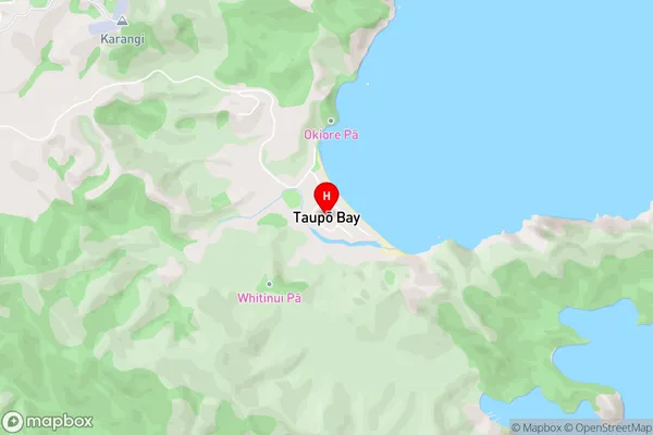
Taupo Bay (Maori Name: Taupō Bay)Taupo Bay Area Map (Street)
Local Authority
Far North DistrictFull Address
Taupo Bay, Far North District, New ZealandAddress Type
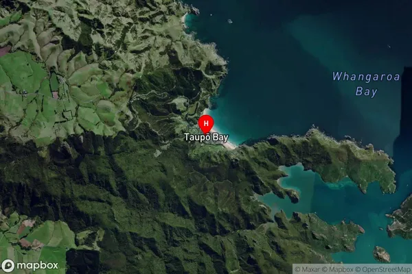
Locality in Town MangonuiTaupo Bay Suburb Map (Satellite)
Country
Main Region in AU
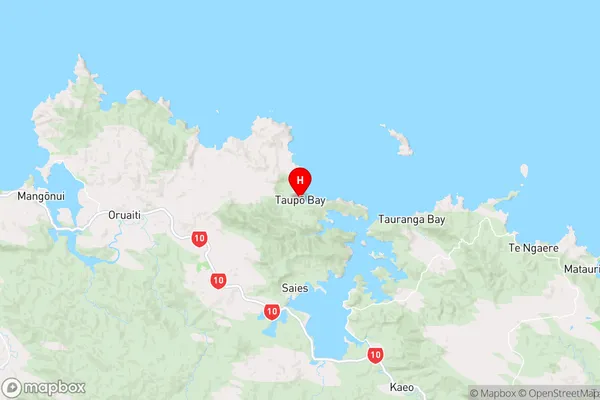
NorthlandTaupo Bay Region Map
Coordinates
-34.9951146,173.7101474 (latitude/longitude)Distances
The distance from Taupo Bay, Mangonui, Far North District to NZ Top 10 Cities