Taipa Area, Taipa Postcode & Map in Taipa
Taipa Area, Taipa Postcode & Map in Taipa, Far North District, New Zealand
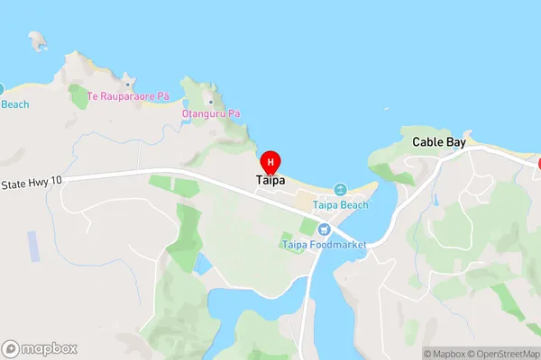
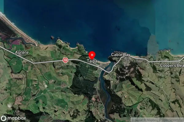
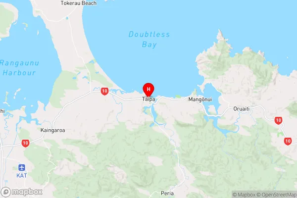
Taipa, Far North District, New Zealand
Taipa Area (estimated)
-1.2 square kilometersTaipa Population (estimated)
934 people live in Taipa, Te Hiku Community, NZTaipa Suburb Area Map (Polygon)
Not available for nowTaipa Introduction
Taipa is a suburb of Northland, New Zealand, and is the second-largest urban area in the Northland Region. It is located on the southern side of the island of Taipa and is connected to the mainland by the Taipa Bridge. The suburb has a population of around 4,000 people and is known for its beautiful beaches, vibrant culture, and historic buildings.Region
Major City
Suburb Name
TaipaOther Name(s)
Aurere, Paranui, Parapara, ToatoaTaipa Area Map (Street)
Local Authority
Far North DistrictFull Address
Taipa, Far North District, New ZealandAddress Type
Suburb in Major Locality TaipaTaipa Suburb Map (Satellite)
Country
Main Region in AU
NorthlandTaipa Region Map
Coordinates
-34.9925163,173.4607006 (latitude/longitude)Distances
The distance from Taipa, Taipa, Far North District to NZ Top 10 Cities