Houhora Area, Houhora Postcode & Map in Houhora
Houhora Area, Houhora Postcode & Map in Houhora, Far North District, New Zealand
Houhora, Far North District, New Zealand
Houhora Area (estimated)
76.5 square kilometersHouhora Population (estimated)
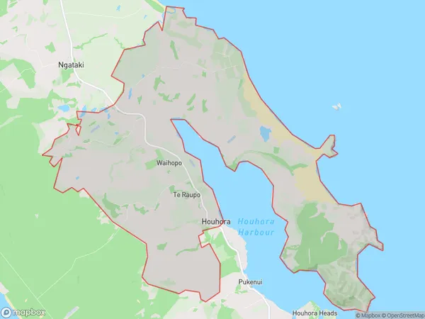
280 people live in Houhora, Te Hiku Community, NZHouhora Suburb Area Map (Polygon)
Houhora Introduction
Houhora is a small coastal town in Northland, New Zealand. It is known for its stunning natural scenery, including rugged cliffs, pristine beaches, and a diverse range of marine life. The town is also home to the Houhora Forest Park, a popular destination for hiking, camping, and picnicking. Houhora is a popular destination for tourists and locals alike, with a variety of accommodation options, restaurants, and cafes to suit all tastes and budgets.Region
Major City
Suburb Name
HouhoraOther Name(s)
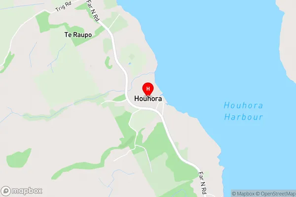
Te Raupo, WaihopoHouhora Area Map (Street)
Local Authority
Far North DistrictFull Address
Houhora, Far North District, New ZealandAddress Type
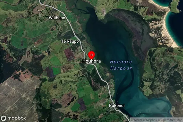
Locality in Town PukenuiHouhora Suburb Map (Satellite)
Country
Main Region in AU
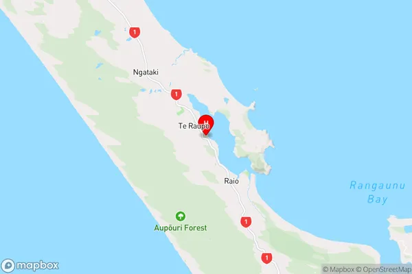
NorthlandHouhora Region Map
Coordinates
-34.794711,173.1056202 (latitude/longitude)Distances
The distance from Houhora, Pukenui, Far North District to NZ Top 10 Cities