Ngataki Area, Ngataki Postcode(0484) & Map in Ngataki
Ngataki Area, Ngataki Postcode(0484) & Map in Ngataki, Far North District, New Zealand
Ngataki, Far North District, New Zealand
Ngataki Postcodes
Ngataki Area (estimated)
134.3 square kilometersNgataki Population (estimated)
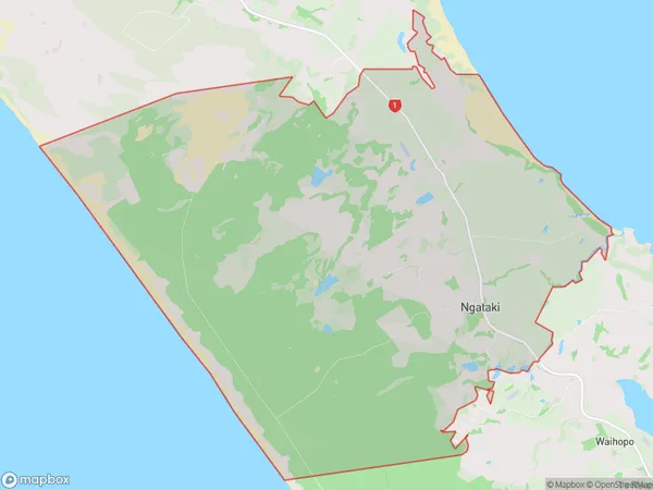
163 people live in Ngataki, Te Hiku Community, NZNgataki Suburb Area Map (Polygon)
Ngataki Introduction
Ngataki, Pukenui, Northland, New Zealand, is a small rural community located on the banks of the Pukenui River. It is known for its stunning natural beauty, including waterfalls, forests, and a variety of wildlife. The community has a population of around 100 people and is home to a primary school, a post office, and a small supermarket. Ngataki is a popular destination for outdoor enthusiasts, with many hiking and tramping tracks in the surrounding area. The community also hosts a annual cultural festival, which attracts visitors from all over Northland.Region
Major City
Suburb Name
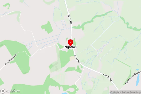
NgatakiNgataki Area Map (Street)
Local Authority
Far North DistrictFull Address
Ngataki, Far North District, New ZealandAddress Type
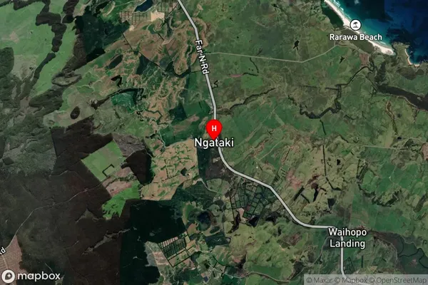
Locality in Town PukenuiNgataki Suburb Map (Satellite)
Country
Main Region in AU
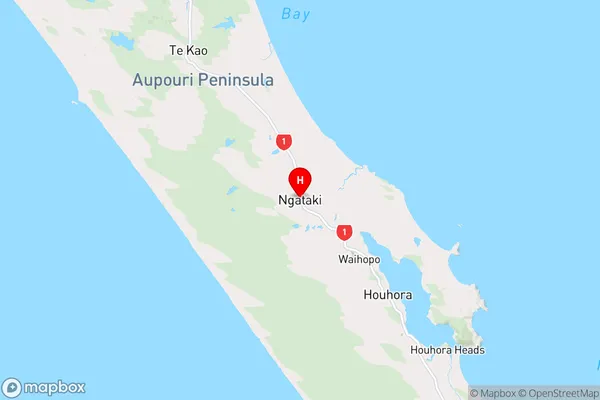
NorthlandNgataki Region Map
Coordinates
-34.7413212,173.0454237 (latitude/longitude)Distances
The distance from Ngataki, Pukenui, Far North District to NZ Top 10 Cities