Pukenui Area, Pukenui Postcode(3700) & Map in Pukenui
Pukenui Area, Pukenui Postcode(3700) & Map in Pukenui, Far North District, New Zealand
Pukenui, Far North District, New Zealand
Pukenui Postcodes
Pukenui Area (estimated)
123.3 square kilometersPukenui Population (estimated)
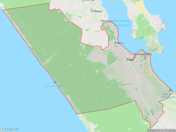
870 people live in Pukenui, Waikato, NZPukenui Suburb Area Map (Polygon)
Pukenui Introduction
Pukenui is a small rural town in Waikato, New Zealand, located on State Highway 1. It is known for its scenic surroundings, including the Pukenui Forest and the Pukenui River. The town has a population of around 100 people and is a popular destination for outdoor activities such as hiking, fishing, and hunting. Pukenui also has a historic church and a community hall.Region
Major City
Suburb Name
PukenuiOther Name(s)
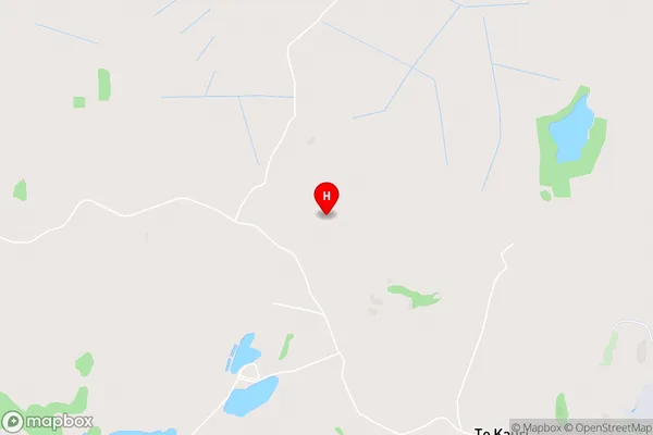
Houhora Heads, Motutangi, RaioPukenui Area Map (Street)
Local Authority
Far North DistrictFull Address
Pukenui, Far North District, New ZealandAddress Type
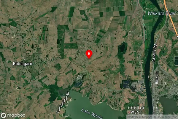
Locality in Town PukenuiPukenui Suburb Map (Satellite)
Country
Main Region in AU
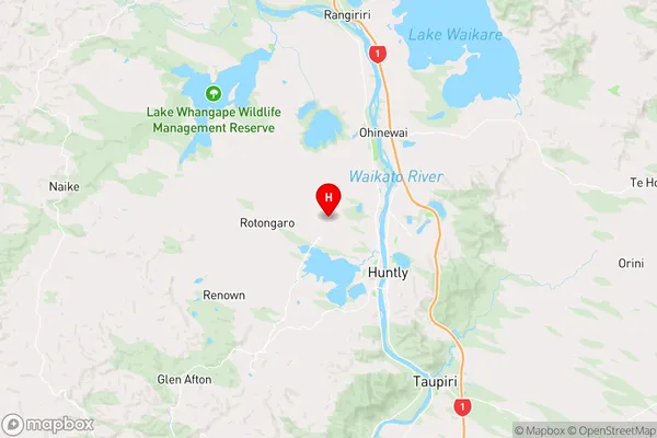
WaikatoPukenui Region Map
Coordinates
-37.5318382,175.1217117 (latitude/longitude)Distances
The distance from Pukenui, Pukenui, Far North District to NZ Top 10 Cities