Cape Reinga Area, Cape Reinga Postcode & Map in Cape Reinga
Cape Reinga Area, Cape Reinga Postcode & Map in Cape Reinga, Far North District, New Zealand
Cape Reinga, Far North District, New Zealand
Cape Reinga Area (estimated)
217.7 square kilometersCape Reinga Population (estimated)
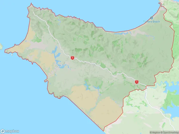
39 people live in Cape Reinga, Te Hiku Community, NZCape Reinga Suburb Area Map (Polygon)
Region
Major City
Suburb Name
Cape ReingaOther Name(s)
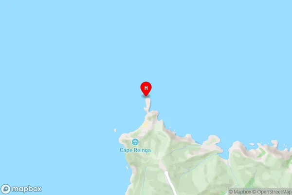
Kapowairua, Pandora, Tapotupotu, Te PakiCape Reinga Area Map (Street)
Local Authority
Far North DistrictFull Address
Cape Reinga, Far North District, New ZealandAddress Type
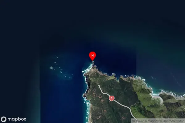
Locality in Major Locality Te KaoCape Reinga Suburb Map (Satellite)
Country
Main Region in AU
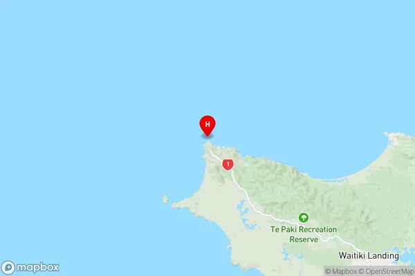
NorthlandCape Reinga Region Map
Coordinates
-34.4201843,172.6793483 (latitude/longitude)Distances
The distance from Cape Reinga, Te Kao, Far North District to NZ Top 10 Cities