Te Kao Area, Te Kao Postcode(0484) & Map in Te Kao
Te Kao Area, Te Kao Postcode(0484) & Map in Te Kao, Far North District, New Zealand
Te Kao, Far North District, New Zealand
Te Kao Postcodes
Te Kao Area (estimated)
312.7 square kilometersTe Kao Population (estimated)
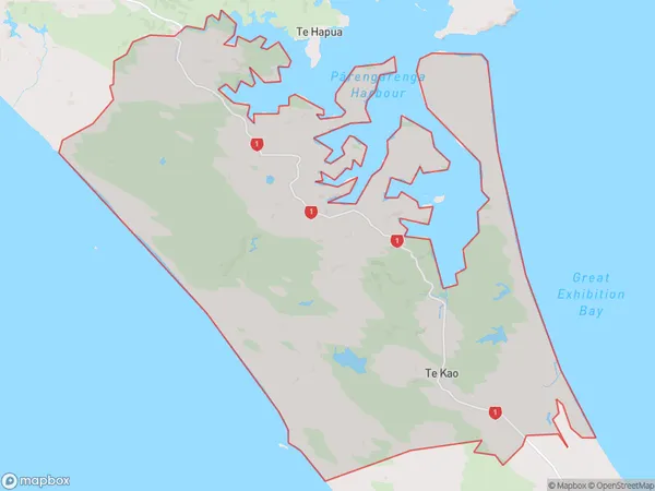
383 people live in Te Kao, Te Hiku Community, NZTe Kao Suburb Area Map (Polygon)
Te Kao Introduction
Te Kao is a small town in Northland, New Zealand. It is located on State Highway 12 and is known for its scenic views and rural atmosphere. The town has a population of around 1,000 people and is a popular stop for tourists traveling through the region.Region
Major City
Suburb Name
Te KaoOther Name(s)
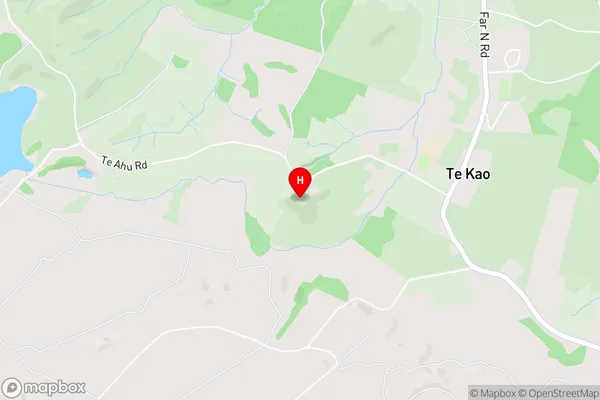
Karatia, Karatia (Thoms Landing), Ngatiwhetu, Paua, Tangoake, Thoms LandingTe Kao Area Map (Street)
Local Authority
Far North DistrictFull Address
Te Kao, Far North District, New ZealandAddress Type
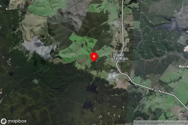
Locality in Major Locality Te KaoTe Kao Suburb Map (Satellite)
Country
Main Region in AU
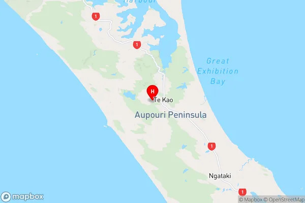
NorthlandTe Kao Region Map
Coordinates
-34.658673,172.954345 (latitude/longitude)Distances
The distance from Te Kao, Te Kao, Far North District to NZ Top 10 Cities