Te Hapua Area, Te Hapua Postcode & Map in Te Hapua
Te Hapua Area, Te Hapua Postcode & Map in Te Hapua, Far North District, New Zealand
Te Hapua, Far North District, New Zealand
Te Hapua Area (estimated)
153.6 square kilometersTe Hapua Population (estimated)
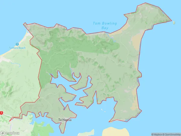
126 people live in Te Hapua, Te Hiku Community, NZTe Hapua Suburb Area Map (Polygon)
Te Hapua Introduction
Te Hapua, Te Kao, Northland, NZ, is a small rural community located on the banks of the Hokianga River. It is known for its stunning natural scenery, including waterfalls, forests, and a picturesque bridge. The community has a strong Maori culture and is home to a number of historic sites, including a former kauri gum factory and a Maori meeting house. It is also a popular destination for outdoor activities such as hiking, fishing, and kayaking.Region
Major City
Suburb Name
Te Hapua (Maori Name: Te Hāpua)Other Name(s)
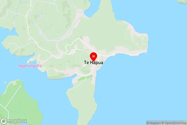
Waitiki LandingTe Hapua Area Map (Street)
Local Authority
Far North DistrictFull Address
Te Hapua, Far North District, New ZealandAddress Type
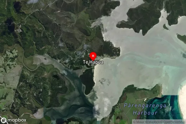
Locality in Major Locality Te KaoTe Hapua Suburb Map (Satellite)
Country
Main Region in AU
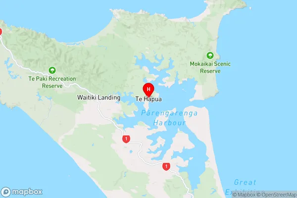
NorthlandTe Hapua Region Map
Coordinates
-34.5183995,172.9085121 (latitude/longitude)Distances
The distance from Te Hapua, Te Kao, Far North District to NZ Top 10 Cities