Pawarenga Area, Pawarenga Postcode(0496) & Map in Pawarenga
Pawarenga Area, Pawarenga Postcode(0496) & Map in Pawarenga, Far North District, New Zealand
Pawarenga, Far North District, New Zealand
Pawarenga Postcodes
Pawarenga Area (estimated)
51.8 square kilometersPawarenga Population (estimated)
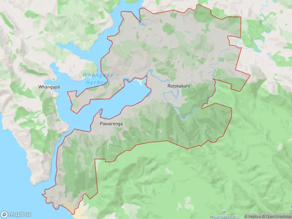
220 people live in Pawarenga, Kaikohe-Hokianga Community, NZPawarenga Suburb Area Map (Polygon)
Pawarenga Introduction
Pawarenga is a small rural community in Northland, New Zealand, located on the banks of the Pawarenga River. It is known for its stunning natural scenery, including waterfalls, forests, and beaches. The community has a population of around 100 people and is home to a primary school, a post office, and a small supermarket. Pawarenga is a popular destination for outdoor enthusiasts, with many hiking and fishing opportunities in the surrounding area.Region
0Suburb Name
PawarengaOther Name(s)
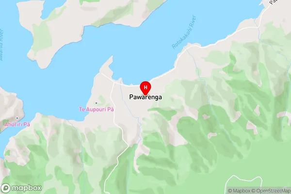
RotokakahiPawarenga Area Map (Street)
Local Authority
Far North DistrictFull Address
Pawarenga, Far North District, New ZealandAddress Type
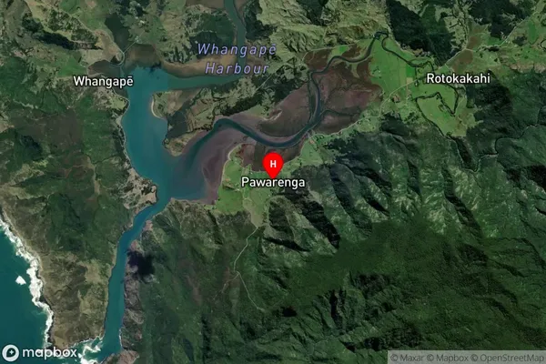
Locality in Major Locality PawarengaPawarenga Suburb Map (Satellite)
Country
Main Region in AU
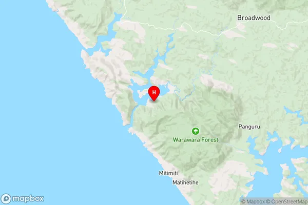
NorthlandPawarenga Region Map
Coordinates
-35.3522526,173.2547379 (latitude/longitude)Distances
The distance from Pawarenga, Pawarenga, Far North District to NZ Top 10 Cities