Dallington Area, Dallington Postcode(8640) & Map in Dallington
Dallington Area, Dallington Postcode(8640) & Map in Dallington, Christchurch City, New Zealand
Dallington, Christchurch City, New Zealand
Dallington Area (estimated)
1.6 square kilometersDallington Population (estimated)
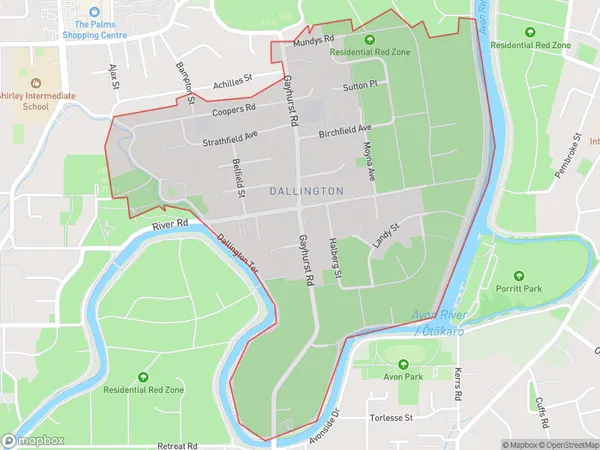
1687 people live in Dallington, Coastal-Burwood Community, NZDallington Suburb Area Map (Polygon)
Dallington Introduction
Dallington is a suburb of Christchurch, New Zealand, located in the eastern suburbs of the city. It is known for its historic homes and gardens, as well as its close proximity to the Christchurch Botanic Gardens. The suburb was named after the Dallington Estate, which was once the home of the wealthy Clarke family.Region
Major City
Suburb Name
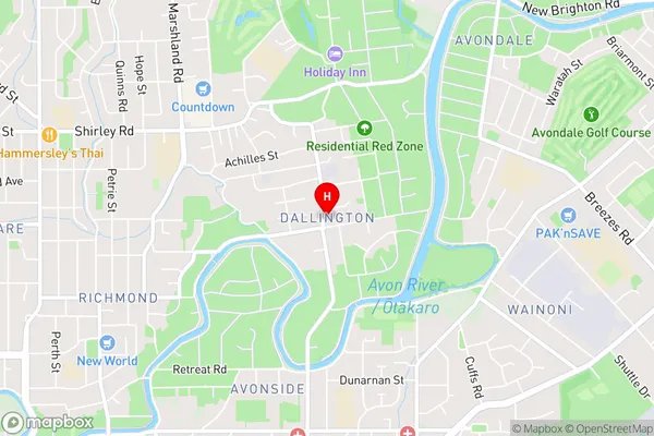
DallingtonDallington Area Map (Street)
Local Authority
Christchurch CityFull Address
Dallington, Christchurch City, New ZealandAddress Type
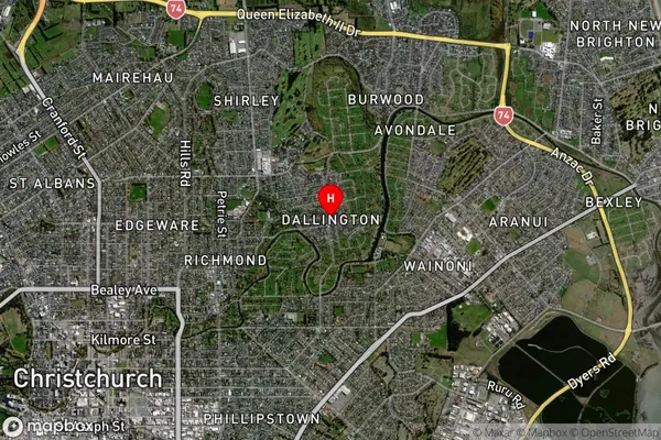
Suburb in City ChristchurchDallington Suburb Map (Satellite)
Country
Main Region in AU
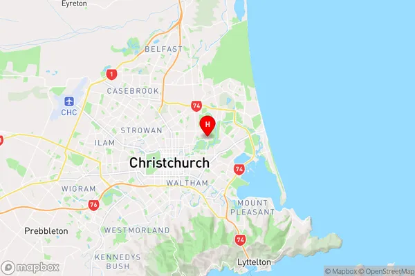
CanterburyDallington Region Map
Coordinates
-43.5130388,172.6742867 (latitude/longitude)Distances
The distance from Dallington, Christchurch, Christchurch City to NZ Top 10 Cities