Omamari Area, Omamari Postcode & Map in Omamari
Omamari Area, Omamari Postcode & Map in Omamari, Kaipara District, New Zealand
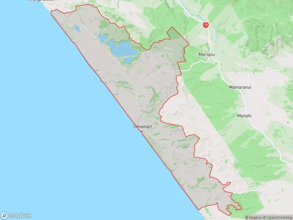
Omamari, Kaipara District, New Zealand
Omamari Area (estimated)
92.4 square kilometersOmamari Population (estimated)
195 people live in Omamari, Northland, NZOmamari Suburb Area Map (Polygon)
Omamari Introduction
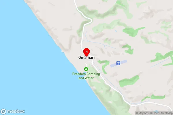
Omamari is a small town in Northland, New Zealand, with a population of around 100. It is located on State Highway 12, approximately 20 km south of Dargaville. The town is known for its scenic surroundings, including the Omamari Beach and the Omamari Forest Park. It is also home to the Omamari Cheese Factory, which produces a variety of cheese products using milk from local cows.Region
Major City
Suburb Name
OmamariOmamari Area Map (Street)
Local Authority
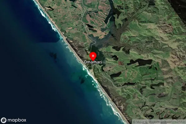
Kaipara DistrictFull Address
Omamari, Kaipara District, New ZealandAddress Type
Locality in Town DargavilleOmamari Suburb Map (Satellite)
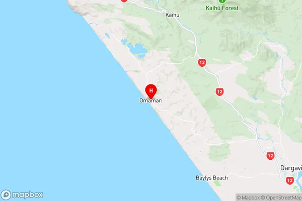
Country
Main Region in AU
NorthlandOmamari Region Map
Coordinates
-35.8636193,173.6667288 (latitude/longitude)Distances
The distance from Omamari, Dargaville, Kaipara District to NZ Top 10 Cities