Mahuta Area, Mahuta Postcode & Map in Mahuta
Mahuta Area, Mahuta Postcode & Map in Mahuta, Kaipara District, New Zealand
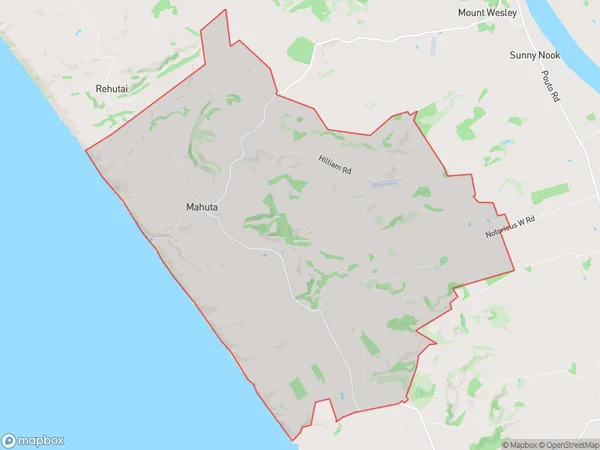
Mahuta, Kaipara District, New Zealand
Mahuta Area (estimated)
42.0 square kilometersMahuta Population (estimated)
182 people live in Mahuta, Northland, NZMahuta Suburb Area Map (Polygon)
Mahuta Introduction
Mahuta, also known as the Great Northern Tree, is a giant kauri tree located in Dargaville, Northland, New Zealand. It is one of the largest and oldest trees in the world, with a trunk diameter of up to 10.5 meters and a height of up to 50 meters. The tree is estimated to be over 2,000 years old and is a popular tourist attraction.Region
Major City
Suburb Name
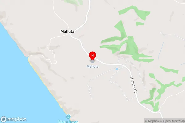
MahutaMahuta Area Map (Street)
Local Authority
Kaipara DistrictFull Address
Mahuta, Kaipara District, New ZealandAddress Type
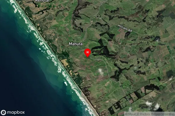
Locality in Town DargavilleMahuta Suburb Map (Satellite)
Country
Main Region in AU
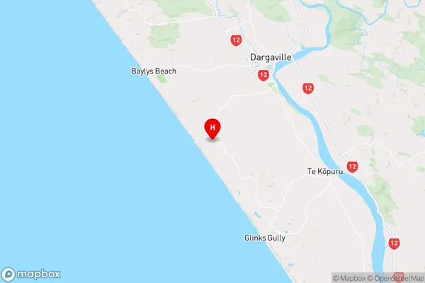
NorthlandMahuta Region Map
Coordinates
-36.004512,173.806631 (latitude/longitude)Distances
The distance from Mahuta, Dargaville, Kaipara District to NZ Top 10 Cities