Paparoa Area, Paparoa Postcode(0571) & Map in Paparoa
Paparoa Area, Paparoa Postcode(0571) & Map in Paparoa, Kaipara District, New Zealand
Paparoa, Kaipara District, New Zealand
Paparoa Area (estimated)
106.7 square kilometersPaparoa Population (estimated)
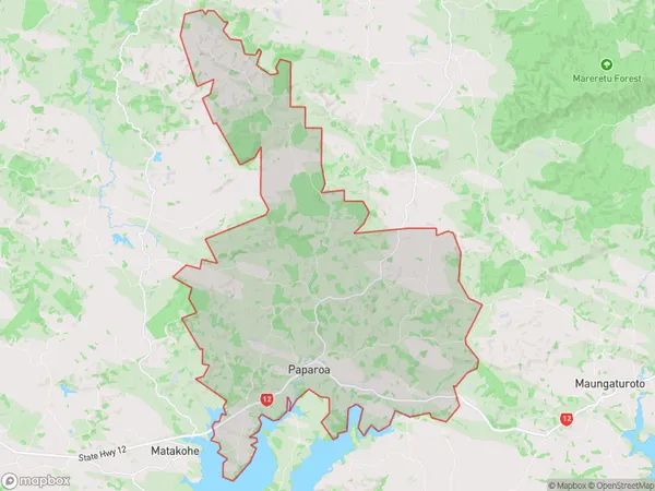
924 people live in Paparoa, Northland, NZPaparoa Suburb Area Map (Polygon)
Paparoa Introduction
Paparoa is a small settlement in Northland, New Zealand. It is located on State Highway 12, about 12 km south of Kaitaia. The settlement is surrounded by farmland and native forest and is known for its scenic views and outdoor activities such as hiking, fishing, and hunting. The population of Paparoa is around 100 people, with most of the residents being of European descent. The village has a post office, a school, and a small supermarket.Region
Major City
Suburb Name
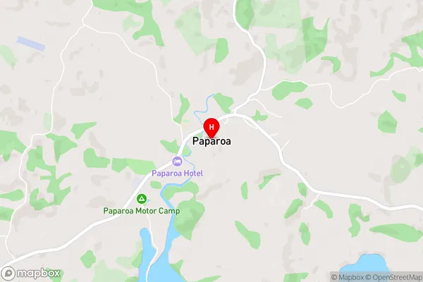
PaparoaPaparoa Area Map (Street)
Local Authority
Kaipara DistrictFull Address
Paparoa, Kaipara District, New ZealandAddress Type
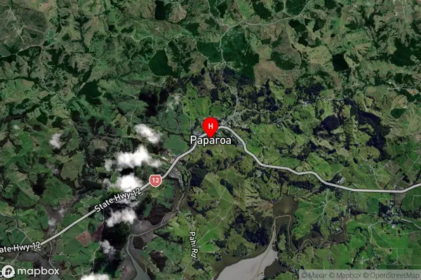
Locality in Town PaparoaPaparoa Suburb Map (Satellite)
Country
Main Region in AU
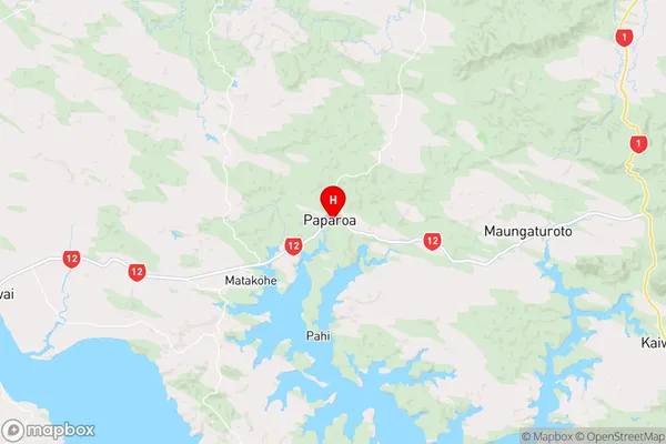
NorthlandPaparoa Region Map
Coordinates
-36.1008957,174.2367982 (latitude/longitude)Distances
The distance from Paparoa, Paparoa, Kaipara District to NZ Top 10 Cities