Port Albert Area, Port Albert Postcode(1148) & Map in Port Albert
Port Albert Area, Port Albert Postcode(1148) & Map in Port Albert, Auckland, New Zealand
Port Albert, Auckland, New Zealand
Port Albert Postcodes
Port Albert Area (estimated)
12.3 square kilometersPort Albert Population (estimated)
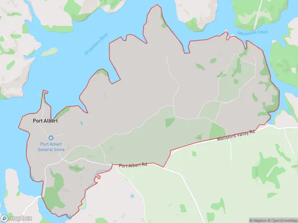
213 people live in Port Albert, Rodney, NZPort Albert Suburb Area Map (Polygon)
Port Albert Introduction
Port Albert is a small rural community on the banks of the Mahoe Creek in Wellsford, Auckland, New Zealand. It is known for its historic buildings, including the Port Albert Hotel, and its scenic surroundings. The area was once a thriving port, but now it is a popular destination for tourists and locals alike.Region
Major City
Suburb Name
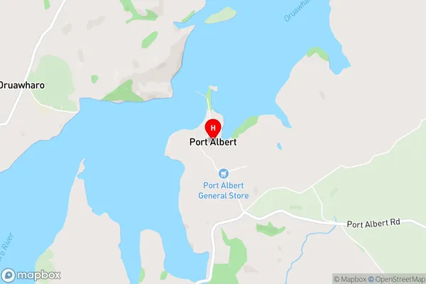
Port AlbertPort Albert Area Map (Street)
Local Authority
AucklandFull Address
Port Albert, Auckland, New ZealandAddress Type
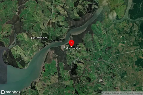
Locality in Town WellsfordPort Albert Suburb Map (Satellite)
Country
Main Region in AU
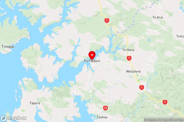
AucklandPort Albert Region Map
Coordinates
-36.2760484,174.4305218 (latitude/longitude)Distances
The distance from Port Albert, Wellsford, Auckland to NZ Top 10 Cities