Topuni Area, Topuni Postcode(0975) & Map in Topuni
Topuni Area, Topuni Postcode(0975) & Map in Topuni, Kaipara District, New Zealand
Topuni, Kaipara District, New Zealand
Topuni Postcodes
Topuni Area (estimated)
56.5 square kilometersTopuni Population (estimated)
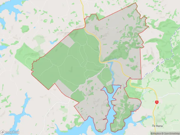
177 people live in Topuni, Northland, NZTopuni Suburb Area Map (Polygon)
Topuni Introduction
Topuni is a small rural community in Northland, New Zealand, located on State Highway 12 and the Topuni River. It is known for its scenic beauty, with lush forests, waterfalls, and a peaceful atmosphere. The community has a primary school, a post office, and a small supermarket. It is also home to the Topuni Marae, a significant cultural and spiritual center for the local Māori people.Region
Major City
Suburb Name
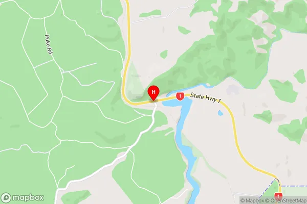
TopuniTopuni Area Map (Street)
Local Authority
Kaipara DistrictFull Address
Topuni, Kaipara District, New ZealandAddress Type
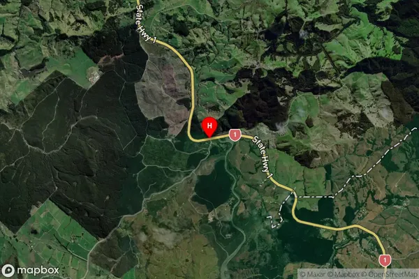
Locality in Town WellsfordTopuni Suburb Map (Satellite)
Country
Main Region in AU
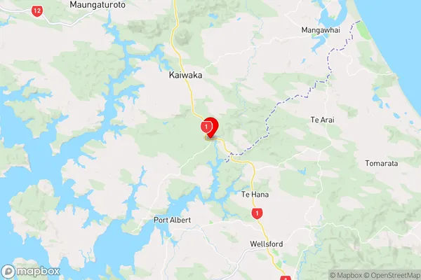
NorthlandTopuni Region Map
Coordinates
-36.2127337,174.4680552 (latitude/longitude)Distances
The distance from Topuni, Wellsford, Kaipara District to NZ Top 10 Cities