Oruawharo Area, Oruawharo Postcode & Map in Oruawharo
Oruawharo Area, Oruawharo Postcode & Map in Oruawharo, Kaipara District, New Zealand
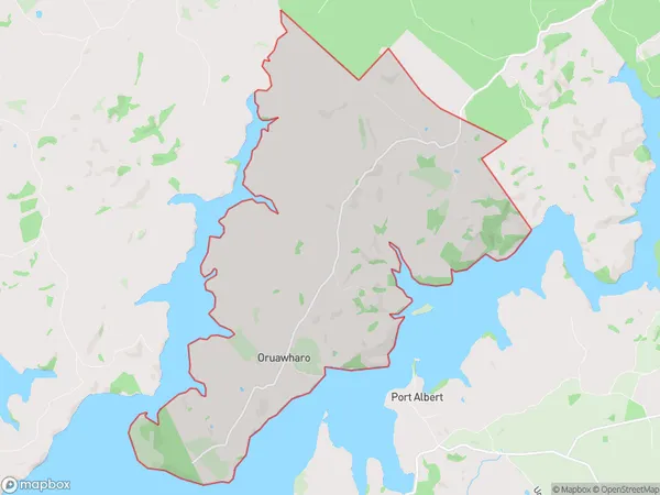
Oruawharo, Kaipara District, New Zealand
Oruawharo Area (estimated)
24.4 square kilometersOruawharo Population (estimated)
180 people live in Oruawharo, Northland, NZOruawharo Suburb Area Map (Polygon)
Oruawharo Introduction
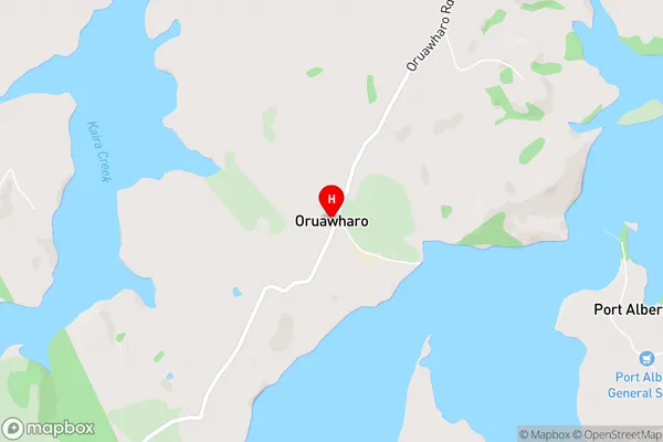
Oruawharo is a small rural community in Wellsford, Northland, New Zealand. It is located on State Highway 1 and is surrounded by farmland and native bush. The community has a primary school, a post office, and a small supermarket. Oruawharo is known for its scenic views and peaceful atmosphere, and is a popular destination for tourists and outdoor enthusiasts.Region
Major City
Suburb Name
OruawharoOruawharo Area Map (Street)
Local Authority
Kaipara DistrictFull Address
Oruawharo, Kaipara District, New ZealandAddress Type
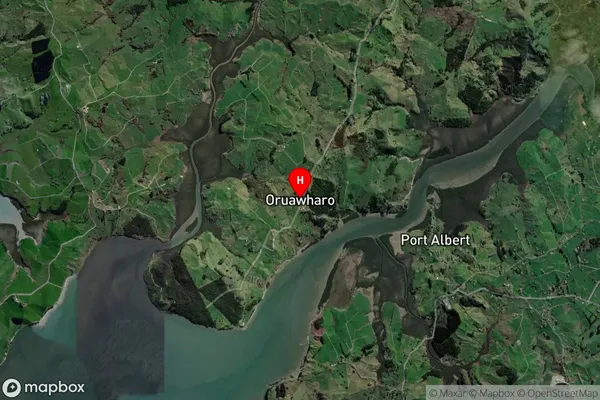
Locality in Town WellsfordOruawharo Suburb Map (Satellite)
Country
Main Region in AU
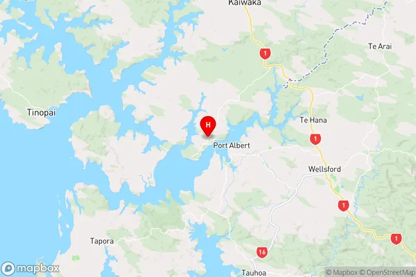
NorthlandOruawharo Region Map
Coordinates
-36.270504,174.4072938 (latitude/longitude)Distances
The distance from Oruawharo, Wellsford, Kaipara District to NZ Top 10 Cities