Waitakere Area, Waitakere Postcode(0816) & Map in Waitakere
Waitakere Area, Waitakere Postcode(0816) & Map in Waitakere, Auckland, New Zealand
Waitakere, Auckland, New Zealand
Waitakere Area (estimated)
78.3 square kilometersWaitakere Population (estimated)
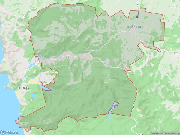
3043 people live in Waitakere, Waitākere Ranges, NZWaitakere Suburb Area Map (Polygon)
Waitakere Introduction
Waitakere is a large suburban area in Auckland, New Zealand, with a diverse population and a mix of residential, commercial, and recreational areas. It is known for its beautiful parks, forests, and beaches, and is home to several important cultural institutions, including the Auckland Zoo and the Waitakere Ranges Regional Park.Region
Major City
Suburb Name
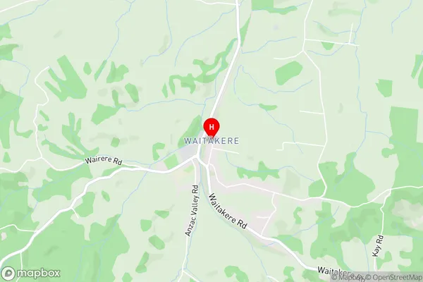
Waitakere (Maori Name: Waitākere)Waitakere Area Map (Street)
Local Authority
AucklandFull Address
Waitakere, Auckland, New ZealandAddress Type
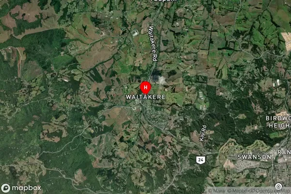
Suburb in City AucklandWaitakere Suburb Map (Satellite)
Country
Main Region in AU
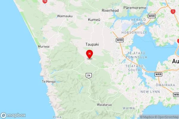
AucklandWaitakere Region Map
Coordinates
-36.848987,174.5442266 (latitude/longitude)Distances
The distance from Waitakere, Auckland, Auckland to NZ Top 10 Cities