Anawhata Area, Anawhata Postcode(1148) & Map in Anawhata
Anawhata Area, Anawhata Postcode(1148) & Map in Anawhata, Auckland, New Zealand
Anawhata, Auckland, New Zealand
Anawhata Postcodes
Anawhata Area (estimated)
14.3 square kilometersAnawhata Population (estimated)
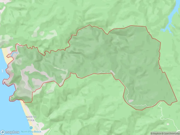
80 people live in Anawhata, Waitākere Ranges, NZAnawhata Suburb Area Map (Polygon)
Anawhata Introduction
Anawhata is a suburban area in Auckland, New Zealand, located in the North Shore region. It is known for its peaceful atmosphere, scenic views, and proximity to the beach. The area has a variety of housing options, including apartments, townhouses, and standalone homes. Anawhata is well-connected to other parts of Auckland via public transportation, and it is also home to several schools, parks, and recreational facilities.Region
Major City
Suburb Name
AnawhataOther Name(s)
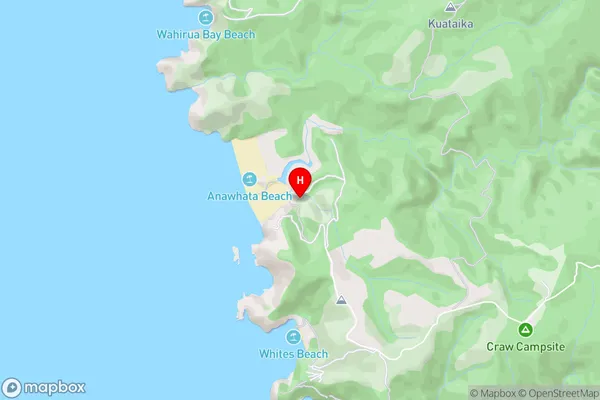
AnawahtaAnawhata Area Map (Street)
Local Authority
AucklandFull Address
Anawhata, Auckland, New ZealandAddress Type
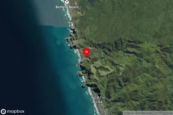
Locality in City AucklandAnawhata Suburb Map (Satellite)
Country
Main Region in AU
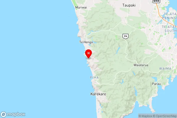
AucklandAnawhata Region Map
Coordinates
-36.9210849,174.4561513 (latitude/longitude)Distances
The distance from Anawhata, Auckland, Auckland to NZ Top 10 Cities