Cornwallis Area, Cornwallis Postcode(0604) & Map in Cornwallis
Cornwallis Area, Cornwallis Postcode(0604) & Map in Cornwallis, Auckland, New Zealand
Cornwallis, Auckland, New Zealand
Cornwallis Postcodes
Cornwallis Area (estimated)
9.4 square kilometersCornwallis Population (estimated)
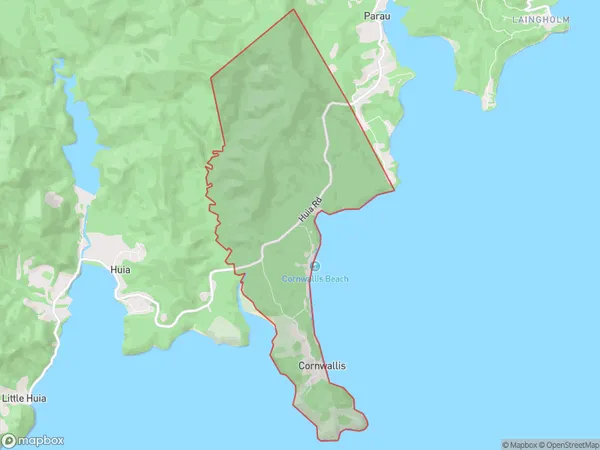
170 people live in Cornwallis, Waitākere Ranges, NZCornwallis Suburb Area Map (Polygon)
Cornwallis Introduction
Cornwallis is a suburb in Auckland, New Zealand, located in the Eastern suburbs. It is named after British General Charles Cornwallis, who defeated the Maori in the Battle of Rangiriri in 1860. The suburb has a mix of residential and commercial properties and is known for its peaceful atmosphere and scenic views. It is also home to several parks and recreational facilities, including Cornwallis Bay Beach and Cornwallis Park.Region
Major City
Suburb Name
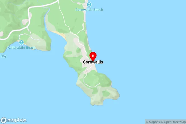
CornwallisCornwallis Area Map (Street)
Local Authority
AucklandFull Address
Cornwallis, Auckland, New ZealandAddress Type
Suburb in City AucklandCornwallis Suburb Map (Satellite)

Country
Main Region in AU
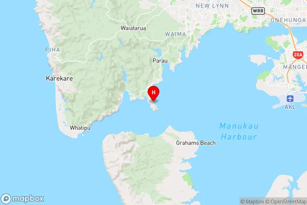
AucklandCornwallis Region Map
Coordinates
-37.01202,174.60522 (latitude/longitude)Distances
The distance from Cornwallis, Auckland, Auckland to NZ Top 10 Cities