Matemateaonga Area, Matemateaonga Postcode(4399) & Map in Matemateaonga, South Taranaki District
Matemateaonga Area, Matemateaonga Postcode(4399) & Map in Matemateaonga, South Taranaki District, Stratford District, New Zealand
Matemateaonga, South Taranaki District, Stratford District, New Zealand
Matemateaonga Postcodes
Matemateaonga Area (estimated)
-1.2 square kilometersMatemateaonga Population (estimated)
42 people live in Matemateaonga, Taranaki, NZMatemateaonga Suburb Area Map (Polygon)
Not available for nowMatemateaonga Introduction
Matemateaonga is a small rural community located in the Taranaki region of New Zealand. It is situated on State Highway 1 and is surrounded by stunning natural landscapes, including the Mount Taranaki and the Rangitoto Island. The community has a strong Maori heritage and is known for its traditional Maori arts and crafts, such as carving and weaving. The local school is a popular destination for students from nearby towns and villages, and the community has a number of recreational facilities, including a sports field and a community hall.Region
Major City
Suburb Name
MatemateaongaOther Name(s)
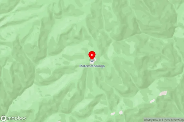
Moeroa, Omoana, TakouMatemateaonga Area Map (Street)
Local Authority
South Taranaki District, Stratford DistrictFull Address
Matemateaonga, South Taranaki District, Stratford District, New ZealandAddress Type
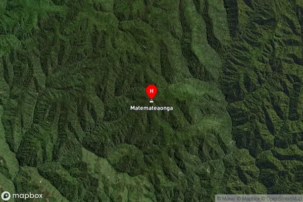
Locality in Town ElthamMatemateaonga Suburb Map (Satellite)
Country
Main Region in AU
TaranakiMatemateaonga Region Map

Coordinates
-39.3830399,174.6802589 (latitude/longitude)Distances
The distance from Matemateaonga, Eltham, South Taranaki District, Stratford District to NZ Top 10 Cities