Waipori Area, Waipori Postcode & Map in Waipori
Waipori Area, Waipori Postcode & Map in Waipori, Clutha District, New Zealand
Waipori, Clutha District, New Zealand
Waipori Area (estimated)
-1.2 square kilometersWaipori Population (estimated)
56 people live in Waipori, Otago, NZWaipori Suburb Area Map (Polygon)
Not available for nowWaipori Introduction
Waipori is a small rural community in Outram, Otago, New Zealand. It is located on State Highway 1, approximately 20 kilometers south of Dunedin. The area was originally settled by Māori tribes and has a rich history of farming and forestry. Today, Waipori is a popular destination for tourists who enjoy the natural beauty of the area, including the Waipori Forest and the Waipori River. The community has a primary school, a post office, and a small supermarket.Region
Major City
Suburb Name
WaiporiOther Name(s)
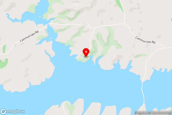
Otago GoldfieldsWaipori Area Map (Street)
Local Authority
Clutha DistrictFull Address
Waipori, Clutha District, New ZealandAddress Type
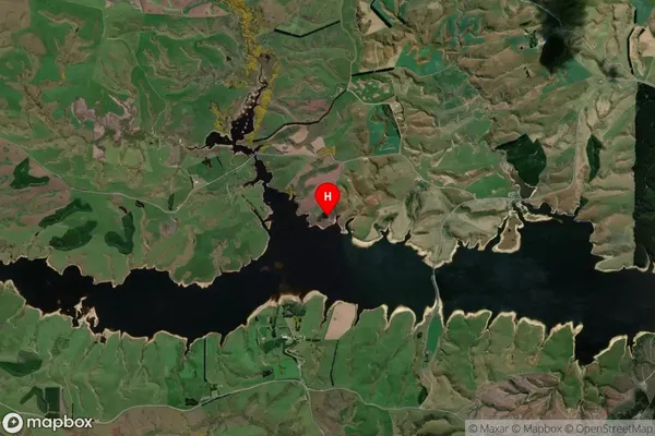
Locality in Town OutramWaipori Suburb Map (Satellite)
Country
Main Region in AU
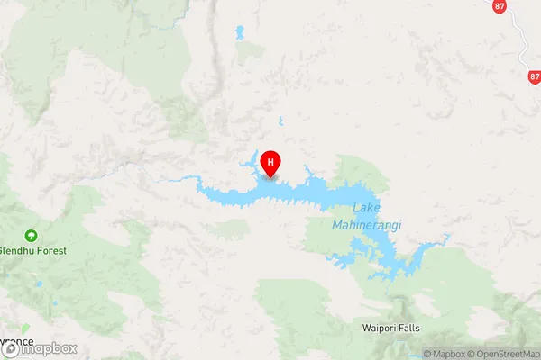
OtagoWaipori Region Map
Coordinates
-45.8273392,169.8863404 (latitude/longitude)Distances
The distance from Waipori, Outram, Clutha District to NZ Top 10 Cities