Cust Area, Cust Postcode(7575) & Map in Cust
Cust Area, Cust Postcode(7575) & Map in Cust, Waimakariri District, New Zealand
Cust, Waimakariri District, New Zealand
Cust Area (estimated)
95.1 square kilometersCust Population (estimated)
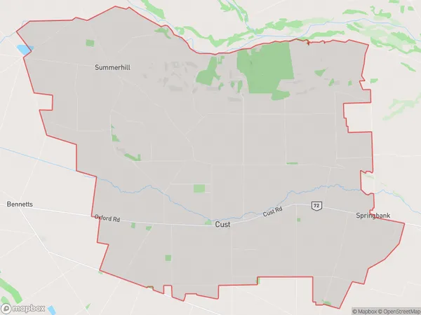
1234 people live in Cust, Canterbury, NZCust Suburb Area Map (Polygon)
Cust Introduction
Cust is a small rural community in Canterbury, New Zealand, located on the banks of the Hurunui River. It is known for its historic stone buildings and scenic surroundings, and is a popular destination for tourists and outdoor enthusiasts. The area was first settled by European settlers in the 1850s, and has since developed into a thriving community with a variety of businesses and services.Region
Major City
Suburb Name
CustOther Name(s)
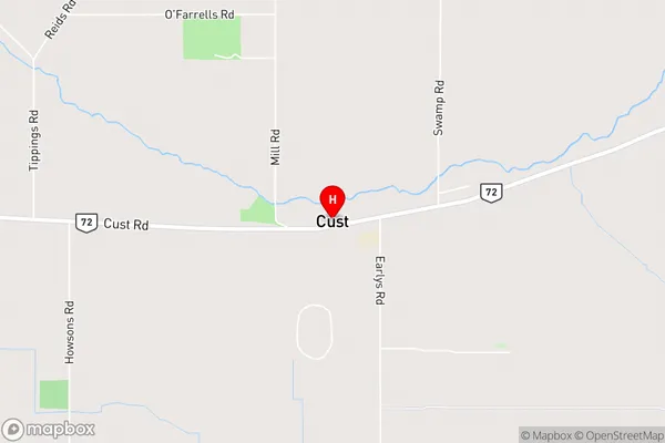
Springbank, SummerhillCust Area Map (Street)
Local Authority
Waimakariri DistrictFull Address
Cust, Waimakariri District, New ZealandAddress Type
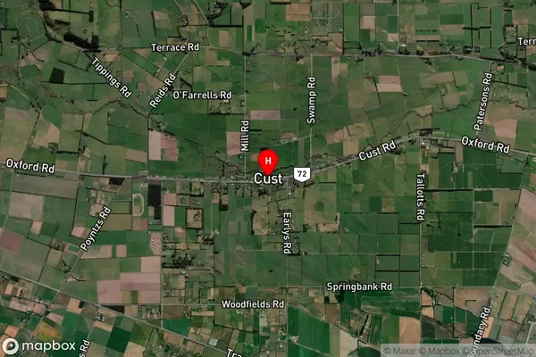
Locality in Town CustCust Suburb Map (Satellite)
Country
Main Region in AU
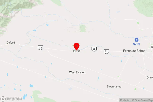
CanterburyCust Region Map
Coordinates
-43.3111127,172.3778609 (latitude/longitude)Distances
The distance from Cust, Cust, Waimakariri District to NZ Top 10 Cities