Kawakawa Bay Area, Kawakawa Bay Postcode(1148) & Map in Kawakawa Bay
Kawakawa Bay Area, Kawakawa Bay Postcode(1148) & Map in Kawakawa Bay, Auckland, New Zealand
Kawakawa Bay, Auckland, New Zealand
Kawakawa Bay Postcodes
Kawakawa Bay Area (estimated)
56.4 square kilometersKawakawa Bay Population (estimated)
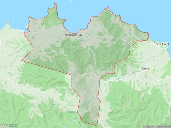
774 people live in Kawakawa Bay, Franklin, NZKawakawa Bay Suburb Area Map (Polygon)
Kawakawa Bay Introduction
Kawakawa Bay is a picturesque coastal village located in the North Shore region of Auckland, New Zealand. It is known for its stunning natural beauty, including lush green forests, crystal-clear waters, and picturesque beaches. The bay is a popular spot for swimming, kayaking, and fishing, and it is also home to a variety of wildlife, including native birds and seals. The village has a relaxed and laid-back atmosphere, with a few cafes and restaurants serving fresh seafood and local produce. It is also a popular destination for day trips and weekend getaways, with many visitors exploring the nearby hiking trails and scenic reserves.Region
Major City
Suburb Name
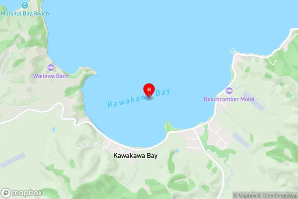
Kawakawa BayKawakawa Bay Area Map (Street)
Local Authority
AucklandFull Address
Kawakawa Bay, Auckland, New ZealandAddress Type
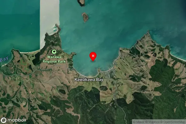
Locality in Major Locality Kawakawa BayKawakawa Bay Suburb Map (Satellite)
Country
Main Region in AU
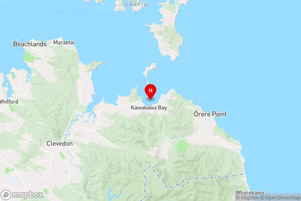
AucklandKawakawa Bay Region Map
Coordinates
-36.9441798,175.1612799053 (latitude/longitude)Distances
The distance from Kawakawa Bay, Kawakawa Bay, Auckland to NZ Top 10 Cities