Beachlands Area, Beachlands Postcode(2018) & Map in Beachlands
Beachlands Area, Beachlands Postcode(2018) & Map in Beachlands, Auckland, New Zealand
Beachlands, Auckland, New Zealand
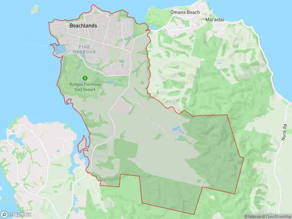
Beachlands Area (estimated)
25.1 square kilometersBeachlands Population (estimated)
7671 people live in Beachlands, Franklin, NZBeachlands Suburb Area Map (Polygon)
Beachlands Introduction
Beachlands is a suburb of Auckland, New Zealand, located on the southeastern coast of the Waitemata Harbour. It is known for its peaceful atmosphere, beautiful beaches, and vibrant community. The suburb has a population of around 20,000 people and is popular with families, retirees, and young professionals. It is surrounded by lush green parks and offers a range of recreational facilities, including a golf course, swimming pools, and a community center. Beachlands is also home to several historic buildings, including the Beachlands Hotel and the Beachlands Shopping Center.Region
Major City
Suburb Name
BeachlandsOther Name(s)
Pine Harbour, TurangaBeachlands Area Map (Street)
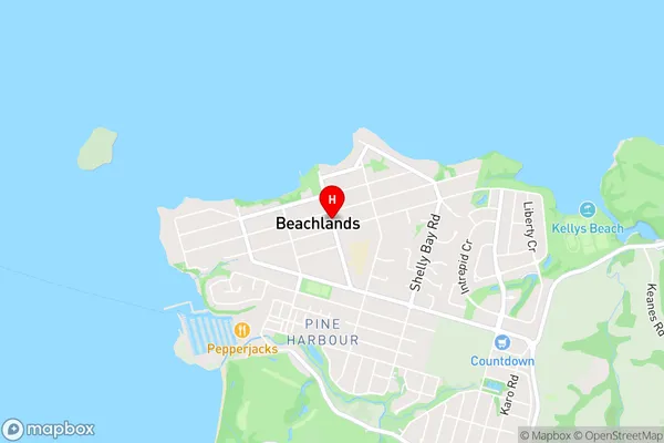
Local Authority
AucklandFull Address
Beachlands, Auckland, New ZealandAddress Type
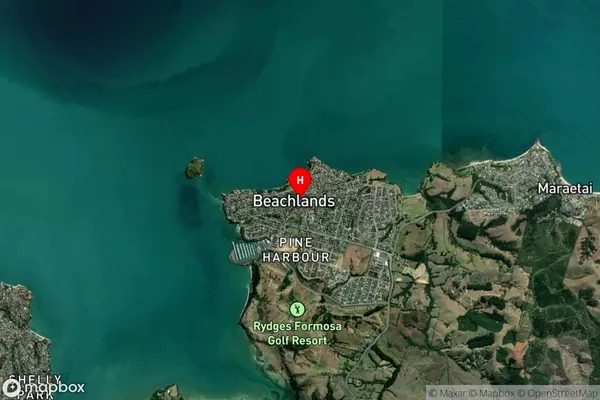
Suburb in City AucklandBeachlands Suburb Map (Satellite)
Country
Main Region in AU
AucklandBeachlands Region Map
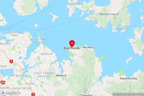
Coordinates
-36.8823553,174.9971497 (latitude/longitude)Distances
The distance from Beachlands, Auckland, Auckland to NZ Top 10 Cities