Thornton Bay Area, Thornton Bay Postcode(3500) & Map in Thornton Bay
Thornton Bay Area, Thornton Bay Postcode(3500) & Map in Thornton Bay, Thames-Coromandel District, New Zealand
Thornton Bay, Thames-Coromandel District, New Zealand
Thornton Bay Postcodes
Thornton Bay Area (estimated)
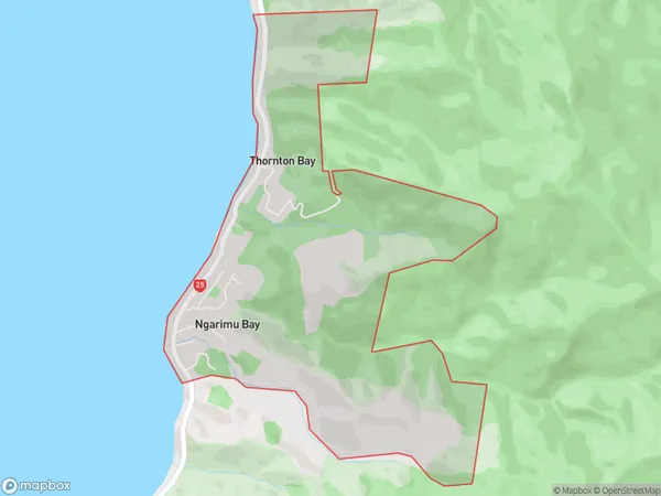
3.0 square kilometersThornton Bay Population (estimated)
357 people live in Thornton Bay, Waikato, NZThornton Bay Suburb Area Map (Polygon)
Thornton Bay Introduction
Thornton Bay is a small bay on the Waikato River, located in the Waikato region of New Zealand. It is known for its stunning natural beauty, including rugged cliffs, sandy beaches, and a variety of wildlife. The bay is a popular spot for swimming, fishing, and kayaking, and is also home to a small community of residents. The bay is surrounded by picturesque farmland and has a peaceful, relaxed atmosphere.Region
0Suburb Name
Thornton BayOther Name(s)
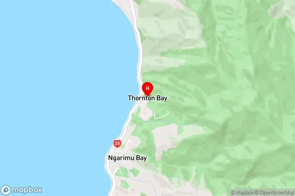
Ngarimu Bay, WhakateteThornton Bay Area Map (Street)
Local Authority
Thames-Coromandel DistrictFull Address
Thornton Bay, Thames-Coromandel District, New ZealandAddress Type
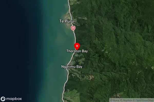
Locality in Town ThamesThornton Bay Suburb Map (Satellite)
Country
Main Region in AU
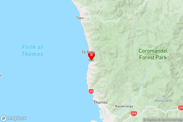
WaikatoThornton Bay Region Map
Coordinates
-37.0623095,175.5254702 (latitude/longitude)Distances
The distance from Thornton Bay, Thames, Thames-Coromandel District to NZ Top 10 Cities