Te Puru Area, Te Puru Postcode(3575) & Map in Te Puru
Te Puru Area, Te Puru Postcode(3575) & Map in Te Puru, Thames-Coromandel District, New Zealand
Te Puru, Thames-Coromandel District, New Zealand
Te Puru Postcodes
Te Puru Area (estimated)
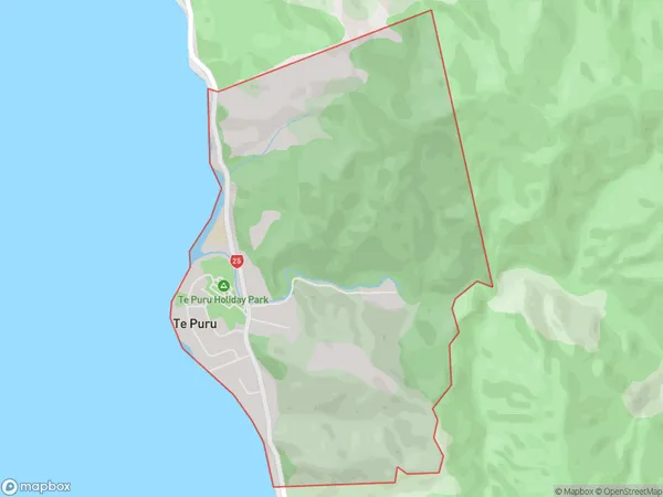
4.3 square kilometersTe Puru Population (estimated)
600 people live in Te Puru, Waikato, NZTe Puru Suburb Area Map (Polygon)
Te Puru Introduction
Te Puru is a small rural community located in the Thames Valley, Waikato, New Zealand. It is known for its beautiful natural surroundings, including the Te Puru River and the surrounding hills. The community has a strong sense of community and is home to a variety of businesses and services, including a primary school, a post office, and a convenience store. Te Puru is a popular destination for outdoor enthusiasts, with many walking and cycling trails nearby. The area is also home to a number of historic buildings, including the Te Puru railway station, which was built in 1888.Region
0Suburb Name
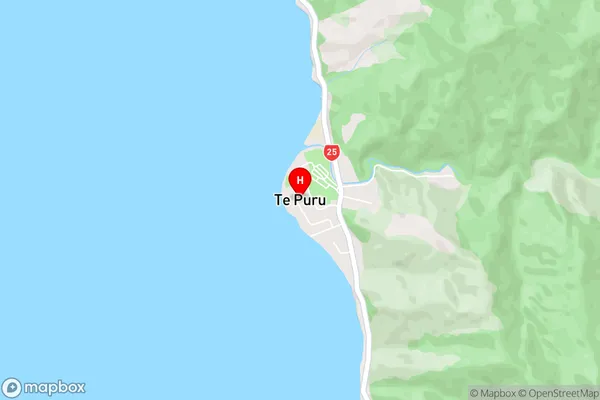
Te PuruTe Puru Area Map (Street)
Local Authority
Thames-Coromandel DistrictFull Address
Te Puru, Thames-Coromandel District, New ZealandAddress Type
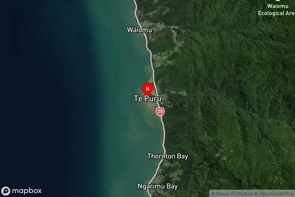
Locality in Town ThamesTe Puru Suburb Map (Satellite)
Country
Main Region in AU
WaikatoTe Puru Region Map

Coordinates
-37.0462915,175.5184477 (latitude/longitude)Distances
The distance from Te Puru, Thames, Thames-Coromandel District to NZ Top 10 Cities