Ruamahunga Area, Ruamahunga Postcode(3575) & Map in Ruamahunga
Ruamahunga Area, Ruamahunga Postcode(3575) & Map in Ruamahunga, Thames-Coromandel District, New Zealand
Ruamahunga, Thames-Coromandel District, New Zealand
Ruamahunga Postcodes
Ruamahunga Area (estimated)
2.2 square kilometersRuamahunga Population (estimated)
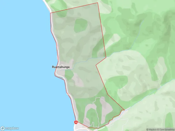
59 people live in Ruamahunga, Waikato, NZRuamahunga Suburb Area Map (Polygon)
Ruamahunga Introduction
Ruamahunga is a small town in the Waikato region of New Zealand. It is situated on the banks of the Waikato River, approximately 100 km south of Hamilton. The town has a population of around 2,000 people and is known for its scenic surroundings, including the Ruamahunga Falls and the Ruamahunga Scenic Reserve. The area was first settled by Māori in the 13th century and was later developed as a farming community. Today, Ruamahunga is a popular destination for outdoor activities such as hiking, cycling, and fishing.Region
0Suburb Name
RuamahungaOther Name(s)
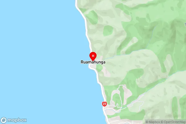
Ruamahunga BayRuamahunga Area Map (Street)
Local Authority
Thames-Coromandel DistrictFull Address
Ruamahunga, Thames-Coromandel District, New ZealandAddress Type
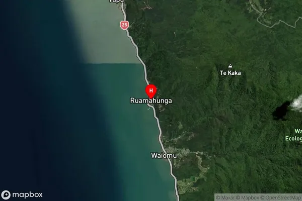
Locality in Town ThamesRuamahunga Suburb Map (Satellite)
Country
Main Region in AU
WaikatoRuamahunga Region Map

Coordinates
-37.0121874,175.5112487 (latitude/longitude)Distances
The distance from Ruamahunga, Thames, Thames-Coromandel District to NZ Top 10 Cities