Te Mata Area, Te Mata Postcode(3575) & Map in Te Mata
Te Mata Area, Te Mata Postcode(3575) & Map in Te Mata, Thames-Coromandel District, New Zealand
Te Mata, Thames-Coromandel District, New Zealand
Te Mata Postcodes
Te Mata Area (estimated)
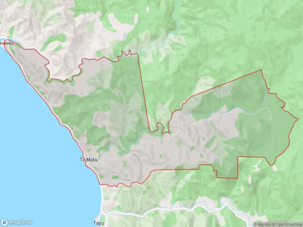
18.4 square kilometersTe Mata Population (estimated)
190 people live in Te Mata, Waikato, NZTe Mata Suburb Area Map (Polygon)
Te Mata Introduction
Te Mata is a small town located in the Waikato region of New Zealand. It is known for its stunning natural beauty, including the Te Mata Peak, a prominent landmark that offers panoramic views of the surrounding area. The town has a rich history and is home to several important historical sites, including the Te Mata Wiremu Memorial Park, which commemorates the life and achievements of the late Chief Wiremu Tamihana. Te Mata is also a popular destination for outdoor enthusiasts, with numerous hiking and biking trails and a nearby golf course.Region
0Suburb Name
Te MataOther Name(s)
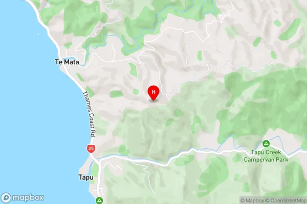
WaikawauTe Mata Area Map (Street)
Local Authority
Thames-Coromandel DistrictFull Address
Te Mata, Thames-Coromandel District, New ZealandAddress Type
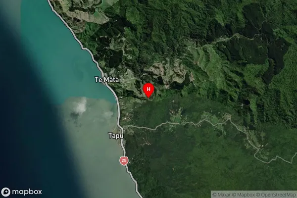
Locality in Town ThamesTe Mata Suburb Map (Satellite)
Country
Main Region in AU
WaikatoTe Mata Region Map

Coordinates
-36.97449,175.51071 (latitude/longitude)Distances
The distance from Te Mata, Thames, Thames-Coromandel District to NZ Top 10 Cities