Waihi Beach Area, Waihi Beach Postcode(3611) & Map in Waihi Beach
Waihi Beach Area, Waihi Beach Postcode(3611) & Map in Waihi Beach, Western Bay of Plenty District, New Zealand
Waihi Beach, Western Bay of Plenty District, New Zealand
Waihi Beach Area (estimated)
23.5 square kilometersWaihi Beach Population (estimated)
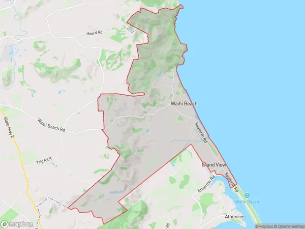
2460 people live in Waihi Beach, Bay of Plenty, NZWaihi Beach Suburb Area Map (Polygon)
Waihi Beach Introduction
Waihi Beach is a popular holiday destination in the Bay of Plenty, New Zealand. It is known for its golden sand, clear waters, and stunning natural surroundings. The beach offers a range of activities, including swimming, surfing, fishing, and hiking. There are also several cafes and restaurants nearby, making it a convenient place to stay and explore the area.Region
Major City
Suburb Name
Waihi BeachOther Name(s)
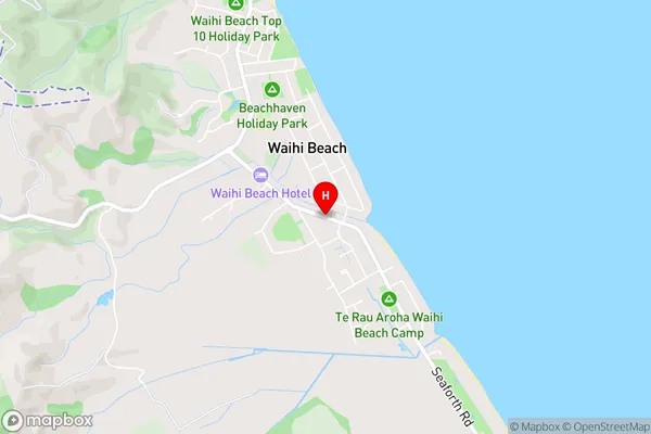
Island ViewWaihi Beach Area Map (Street)
Local Authority
Western Bay of Plenty DistrictFull Address
Waihi Beach, Western Bay of Plenty District, New ZealandAddress Type
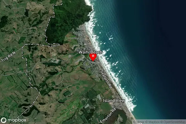
Suburb in Town Waihi BeachWaihi Beach Suburb Map (Satellite)
Country
Main Region in AU
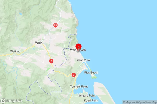
Bay of PlentyWaihi Beach Region Map
Coordinates
-37.4117888,175.943247 (latitude/longitude)Distances
The distance from Waihi Beach, Waihi Beach, Western Bay of Plenty District to NZ Top 10 Cities