Tanners Point Area, Tanners Point Postcode & Map in Tanners Point
Tanners Point Area, Tanners Point Postcode & Map in Tanners Point, Western Bay of Plenty District, New Zealand
Tanners Point, Western Bay of Plenty District, New Zealand
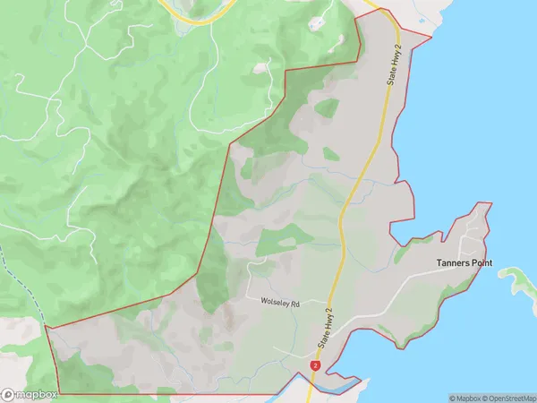
Tanners Point Area (estimated)
9.0 square kilometersTanners Point Population (estimated)
403 people live in Tanners Point, Bay of Plenty, NZTanners Point Suburb Area Map (Polygon)

Tanners Point Introduction
Tahawai is a small rural community on the eastern coast of the Bay of Plenty in New Zealand. It is known for its stunning beaches, lush green valleys, and tranquil surroundings. The area is popular with surfers, fishermen, and nature lovers alike, and offers a range of outdoor activities such as hiking, mountain biking, and kayaking. The nearby Tanners Point Reserve is a significant conservation area, home to a variety of native birds and animals.Region
Major City
Suburb Name
Tanners PointOther Name(s)
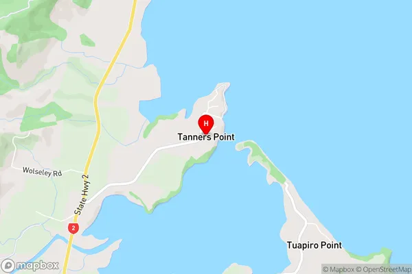
Tanners PtTanners Point Area Map (Street)

Local Authority
Western Bay of Plenty DistrictFull Address
Tanners Point, Western Bay of Plenty District, New ZealandAddress Type
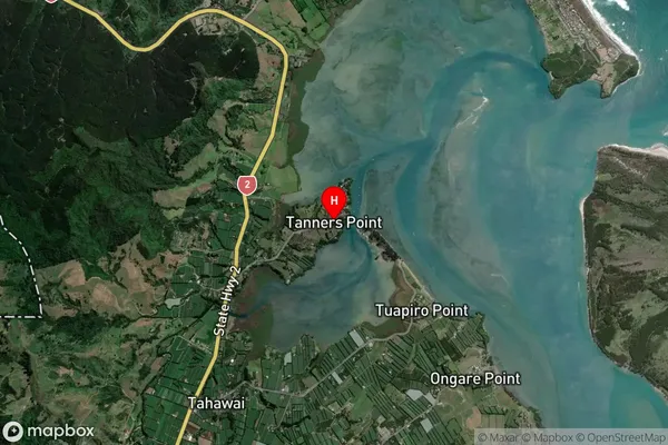
Locality in Town TahawaiTanners Point Suburb Map (Satellite)

Country
Main Region in AU
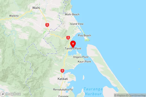
Bay of PlentyTanners Point Region Map

Coordinates
-37.4841077,175.9443573 (latitude/longitude)Distances
The distance from Tanners Point, Tahawai, Western Bay of Plenty District to NZ Top 10 Cities