Katikati Area, Katikati Postcode(3129) & Map in Katikati
Katikati Area, Katikati Postcode(3129) & Map in Katikati, Western Bay of Plenty District, New Zealand
Katikati, Western Bay of Plenty District, New Zealand
Katikati Area (estimated)
12.9 square kilometersKatikati Population (estimated)
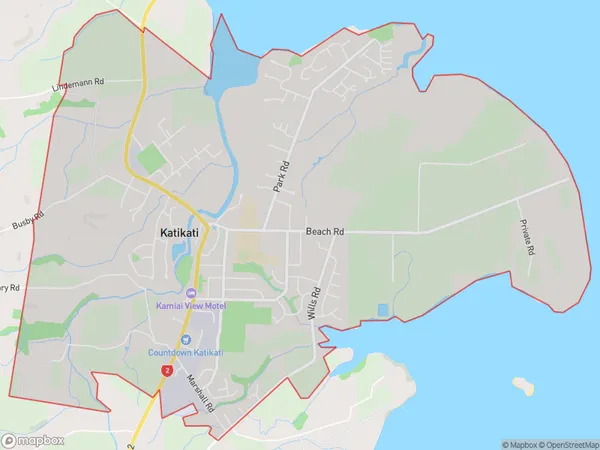
5572 people live in Katikati, Bay of Plenty, NZKatikati Suburb Area Map (Polygon)
Katikati Introduction
Katikati is a small town in the Bay of Plenty, New Zealand. It is known for its beautiful beaches, friendly community, and vibrant arts scene. The town has a population of around 10,000 people and is located on the western coast of the Bay of Plenty. It is surrounded by stunning natural scenery, including Mount Maunganui and the Tauranga Harbour. Katikati is a popular destination for tourists and locals alike, with a variety of attractions and activities to enjoy.Region
Major City
Suburb Name
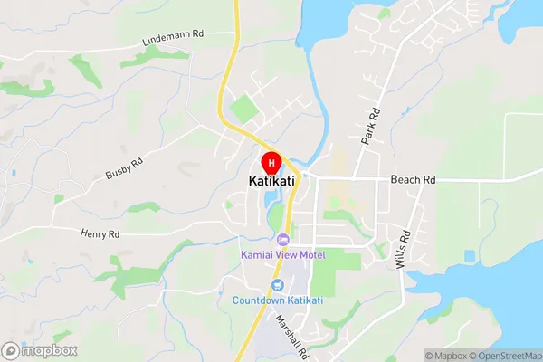
KatikatiKatikati Area Map (Street)
Local Authority
Western Bay of Plenty DistrictFull Address
Katikati, Western Bay of Plenty District, New ZealandAddress Type
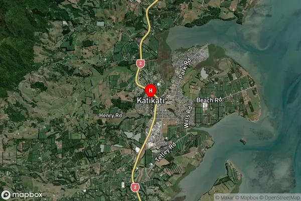
Suburb in Town KatikatiKatikati Suburb Map (Satellite)
Country
Main Region in AU
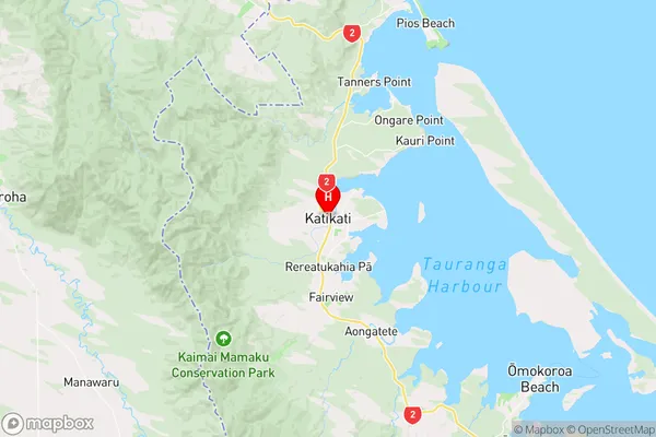
Bay of PlentyKatikati Region Map
Coordinates
-37.5522269,175.91541 (latitude/longitude)Distances
The distance from Katikati, Katikati, Western Bay of Plenty District to NZ Top 10 Cities