Omokoroa Area, Omokoroa Postcode(3114) & Map in Omokoroa
Omokoroa Area, Omokoroa Postcode(3114) & Map in Omokoroa, Western Bay of Plenty District, New Zealand
Omokoroa, Western Bay of Plenty District, New Zealand
Omokoroa Postcodes
Omokoroa Area (estimated)
7.9 square kilometersOmokoroa Population (estimated)
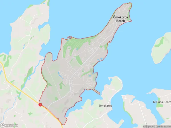
4771 people live in Omokoroa, Manawatu-Wanganui, NZOmokoroa Suburb Area Map (Polygon)
Omokoroa Introduction
Omokoroa is a small town in the Manawatu-Wanganui region of New Zealand. It is located on State Highway 3, approximately 35 km south of Palmerston North and 12 km north of Levin. The town has a population of around 400 people and is known for its scenic surroundings, including the Omokoroa Beach and the Omokoroa Forest. The town also has a golf course, a bowling club, and a community hall.Region
Major City
Suburb Name
Omokoroa (Maori Name: Ōmokoroa)Other Name(s)
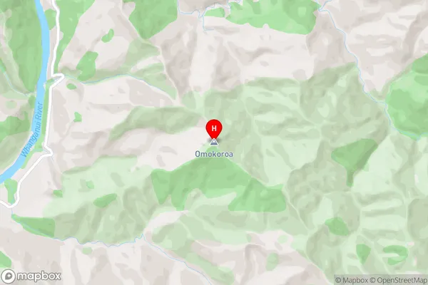
Omokoroa BeachOmokoroa Area Map (Street)
Local Authority
Western Bay of Plenty DistrictFull Address
Omokoroa, Western Bay of Plenty District, New ZealandAddress Type
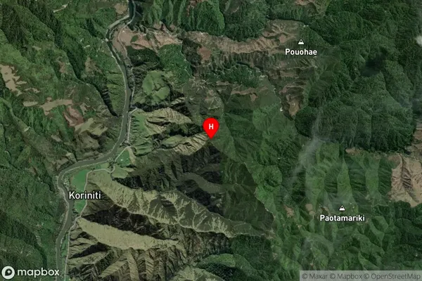
Suburb in Town OmokoroaOmokoroa Suburb Map (Satellite)
Country
Main Region in AU
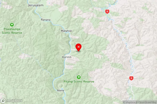
Manawatu-WanganuiOmokoroa Region Map
Coordinates
-39.648785,175.192199 (latitude/longitude)Distances
The distance from Omokoroa, Omokoroa, Western Bay of Plenty District to NZ Top 10 Cities