Mount Maunganui Area, Mount Maunganui Postcode(3149) & Map in Mount Maunganui
Mount Maunganui Area, Mount Maunganui Postcode(3149) & Map in Mount Maunganui, Tauranga City, New Zealand
Mount Maunganui, Tauranga City, New Zealand
Mount Maunganui Area (estimated)
22.6 square kilometersMount Maunganui Population (estimated)
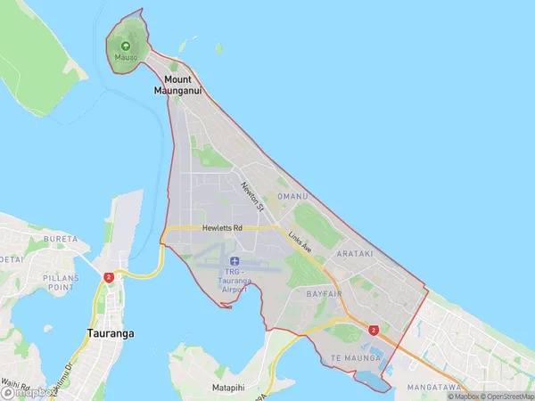
23367 people live in Mount Maunganui, Tauranga, NZMount Maunganui Suburb Area Map (Polygon)

Mount Maunganui Introduction
Mount Maunganui is a popular holiday destination in New Zealand, known for its stunning beaches, volcanic rock formations, and vibrant nightlife. It is situated on the Bay of Plenty coast and is the second-largest city in the region. The mountain, which rises to a height of 720 meters, is a popular climbing and hiking destination, with numerous trails offering breathtaking views of the surrounding area. The city also has a thriving arts and culture scene, with numerous galleries, museums, and theaters.Region
Major City
Suburb Name
Mount MaunganuiOther Name(s)
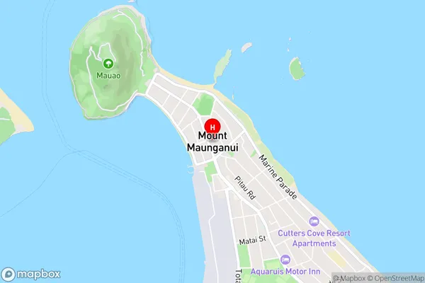
Arataki, Bayfair, Mt Maunganui, Omanu, Omanu Beach, Te MaungaMount Maunganui Area Map (Street)

Local Authority
Tauranga CityFull Address
Mount Maunganui, Tauranga City, New ZealandAddress Type
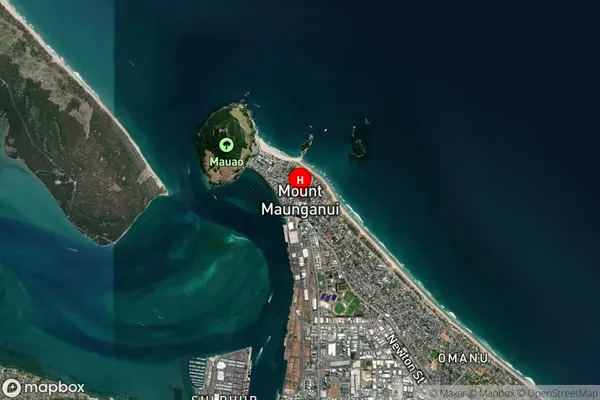
Suburb in Town Mount MaunganuiMount Maunganui Suburb Map (Satellite)

Country
Main Region in AU
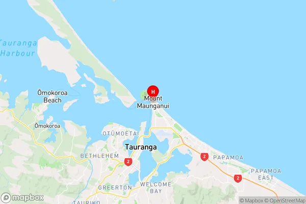
Bay of PlentyMount Maunganui Region Map

Coordinates
-37.6380218,176.1838841 (latitude/longitude)Distances
The distance from Mount Maunganui, Mount Maunganui, Tauranga City to NZ Top 10 Cities