Kutarere Area, Kutarere Postcode(3122) & Map in Kutarere
Kutarere Area, Kutarere Postcode(3122) & Map in Kutarere, Opotiki District, New Zealand
Kutarere, Opotiki District, New Zealand
Kutarere Postcodes
Kutarere Area (estimated)
16.8 square kilometersKutarere Population (estimated)
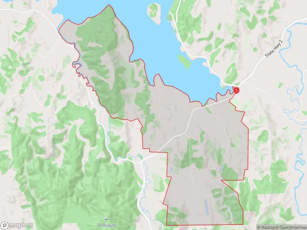
207 people live in Kutarere, Bay of Plenty, NZKutarere Suburb Area Map (Polygon)
Kutarere Introduction
Kutarere is a small rural community in the Waiotahe Valley, Bay of Plenty, New Zealand. It is known for its stunning natural scenery, including waterfalls, forests, and a picturesque lake. The community has a strong Maori cultural heritage and is home to a number of historic buildings. Kutarere is a popular destination for outdoor enthusiasts, with many walking and hiking tracks in the surrounding area.Region
0Suburb Name
KutarereOther Name(s)
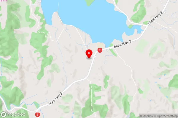
WaiouKutarere Area Map (Street)
Local Authority
Opotiki District (Maori Name: Ōpōtiki District)Full Address
Kutarere, Opotiki District, New ZealandAddress Type
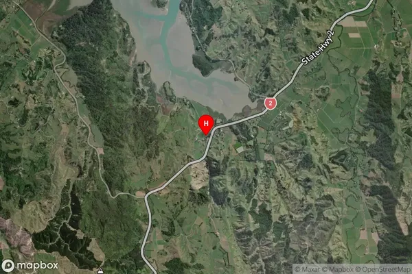
Locality in Major Locality Waiotahe ValleyKutarere Suburb Map (Satellite)
Country
Main Region in AU
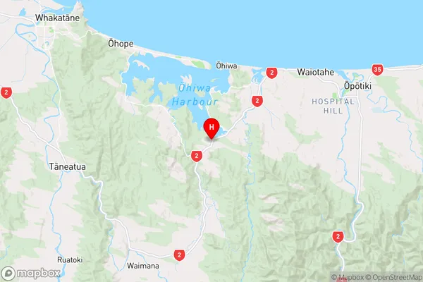
Bay of PlentyKutarere Region Map
Coordinates
-38.0464861,177.1446821 (latitude/longitude)Distances
The distance from Kutarere, Waiotahe Valley, Opotiki District to NZ Top 10 Cities