Cape Runaway Area, Cape Runaway Postcode(3122) & Map in Cape Runaway
Cape Runaway Area, Cape Runaway Postcode(3122) & Map in Cape Runaway, Opotiki District, New Zealand
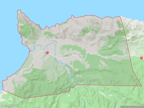
Cape Runaway, Opotiki District, New Zealand
Cape Runaway Postcodes
Cape Runaway Area (estimated)
76.4 square kilometersCape Runaway Population (estimated)
130 people live in Cape Runaway, Bay of Plenty, NZCape Runaway Suburb Area Map (Polygon)
Cape Runaway Introduction
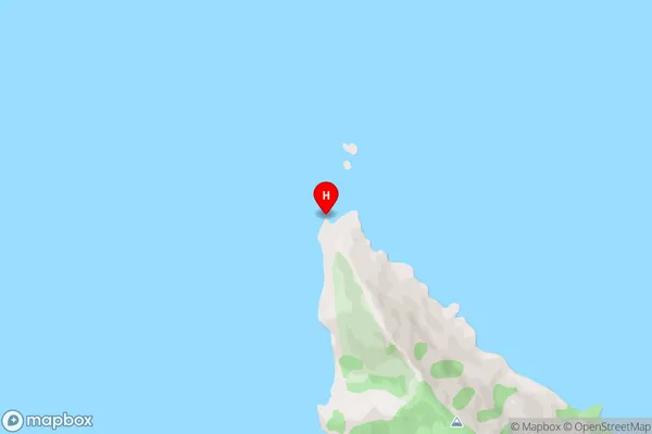
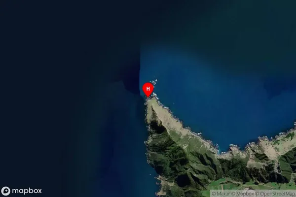
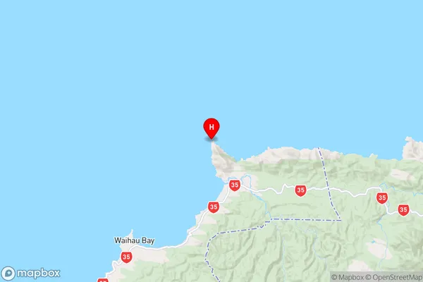
Cape Runaway is a headland on the Bay of Plenty coast of New Zealand. It is known for its stunning natural beauty, including a lighthouse, a beach, and panoramic views of the ocean. The cape is also a popular spot for hiking, camping, and fishing.Region
Major City
Suburb Name
Cape RunawayOther Name(s)
Otamaroa, WhangaparaoaCape Runaway Area Map (Street)
Local Authority
Opotiki District (Maori Name: Ōpōtiki District)Full Address
Cape Runaway, Opotiki District, New ZealandAddress Type
Locality in Major Locality Cape RunawayCape Runaway Suburb Map (Satellite)
Country
Main Region in AU
Bay of PlentyCape Runaway Region Map
Coordinates
-37.5373501,177.9812397 (latitude/longitude)Distances
The distance from Cape Runaway, Cape Runaway, Opotiki District to NZ Top 10 Cities